Santa Rosa, Uruguay
Santa Rosa is a small city in the Canelones Department of southern Uruguay.
Santa Rosa | |
|---|---|
City & Municipality | |
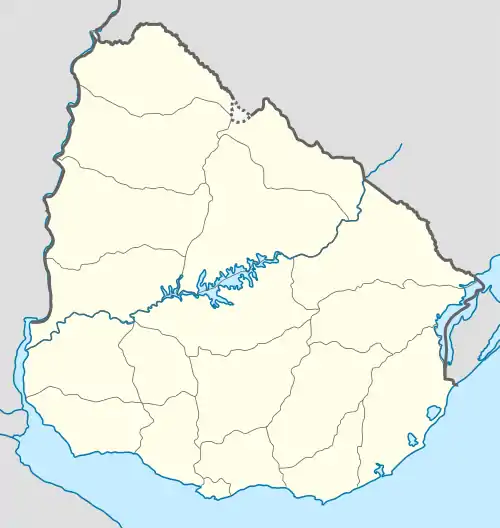
 Santa Rosa Location in Uruguay | |
| Coordinates: 34°30′0″S 56°2′0″W | |
| Country | |
| Department | |
| Population (2011 Census) | |
| • Total | 3,727 |
| Time zone | UTC -3 |
| Postal code | 90500 |
| Dial plan | +598 4313 (+4 digits) |
Santa Rosa is also the name of the municipality to which the city belongs.
Geography
Location
The city is located on Km. 51 of Route 6, only 1 kilometre (0.62 mi) northeast of its intersection with Route 11 and 24 kilometres (15 mi) east of Canelones, the capital city of the department. Other nearby towns are: San Bautista 10.5 kilometres (6.5 mi) to the northeast, San Antonio 8 kilometres (5.0 mi) to the northwest, San Jacinto 18.5 kilometres (11.5 mi) to the east and Sauce 18 kilometres (11 mi) to the south.
History
It was declared a "Pueblo" (village) by Decree of 19 August 1879. On 15 May 1925 its status was elevated to "Villa" (town) by the Act of Ley Nº 7.837,[1] and then on 29 August 1972 to "Ciudad" (city) by the Act of Ley Nº 14.081.[2]
Population
According to the 2011 census, Santa Rosa had a population of 3,727.[3] In 2010, the Intendencia de Canelones had estimated a population of 7,749 for the municipality during the elections.[4]

| Year | Population |
|---|---|
| 1908 | 4,881 |
| 1963 | 2,440 |
| 1975 | 2,726 |
| 1985 | 2,808 |
| 1996 | 3,263 |
| 2004 | 3,660 |
| 2011 | 3,727 |
Source: Instituto Nacional de Estadística de Uruguay[1]
Places of worship
- St. Rose of Lima Parish Church (Roman Catholic)[5]
References
- "Statistics of urban localities (1908–2004)" (PDF). INE. 2012. Retrieved 9 September 2012.
- "Ley Nº 14.081". República Oriental del Uruguay, Poder Legislativo. 1972. Retrieved 9 September 2012.
- "Censos 2011 Cuadros Canelones". INE. 2012. Retrieved 25 August 2012.
- "ELECCIONES - Canelones". El Observador. Archived from the original on 12 March 2012. Retrieved 2 February 2012.
- Parroquia Santa Rosa de Lima (in Spanish)
