San Marcos Airport, Sucre
San Marcos Airport (IATA: SRS, ICAO: SKSR) is an airport serving the town of San Marcos, in the Sucre Department of Colombia. The runway is 4 kilometres (2.5 mi) northwest of the town.
San Marcos Airport | |||||||||||
|---|---|---|---|---|---|---|---|---|---|---|---|
| Summary | |||||||||||
| Airport type | Public | ||||||||||
| Serves | San Marcos | ||||||||||
| Elevation AMSL | 140 ft / 43 m | ||||||||||
| Coordinates | 8°41′25″N 75°09′35″W | ||||||||||
| Map | |||||||||||
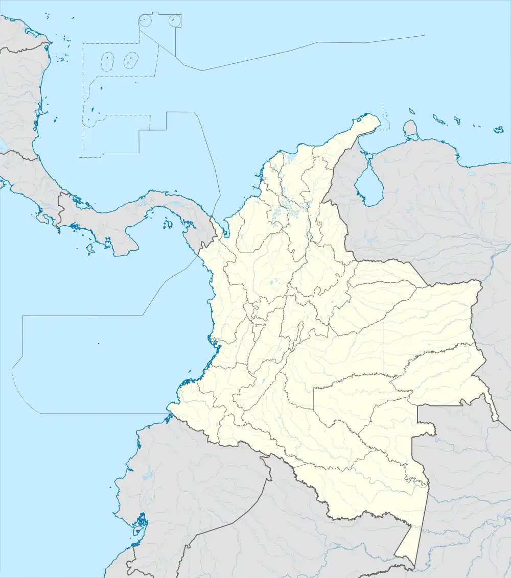 SRS Location of the airport in Colombia | |||||||||||
| Runways | |||||||||||
| |||||||||||
References
- Airport information for SRS at Great Circle Mapper.
- Google Maps - San Marcos
External links
- OurAirports - San Marcos
- SkyVector - San Marcos
- HERE/Nokia - San Marcos
- Accident history for SRS at Aviation Safety Network
This article is issued from Wikipedia. The text is licensed under Creative Commons - Attribution - Sharealike. Additional terms may apply for the media files.