San Antonito, Bernalillo County, New Mexico
San Antonito is a census-designated place in Bernalillo County, New Mexico, United States.[4] Its population was 985 as of the 2010 census.
San Antonito, New Mexico | |
|---|---|
Census-designated place | |
 San Antonito Church | |
 San Antonito | |
| Coordinates: 35°09′47″N 106°20′51″W | |
| Country | United States |
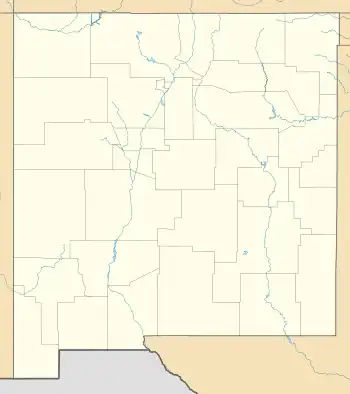
| State | New Mexico |
| County | Bernalillo |
| Area | |
| • Total | 2.445 sq mi (6.33 km2) |
| • Land | 2.445 sq mi (6.33 km2) |
| • Water | 0 sq mi (0 km2) |
| Elevation | 6,873 ft (2,095 m) |
| Population | |
| • Total | 985 |
| • Density | 400/sq mi (160/km2) |
| Time zone | UTC-7 (Mountain (MST)) |
| • Summer (DST) | UTC-6 (MDT) |
| ZIP code | 87047[3] |
| Area code | 505 |
| GNIS feature ID | 910608[4] |
Description
San Antonito Church and Cemetery, which is listed on the National Register of Historic Places, is located in San Antonito.[5]
Education
It is zoned to Albuquerque Public Schools.[6]
References
- "US Gazetteer files: 2010, 2000, and 1990". United States Census Bureau. February 12, 2011. Retrieved April 23, 2011.
- "U.S. Census website". United States Census Bureau. Retrieved May 14, 2011.
- United States Postal Service (2012). "USPS - Look Up a ZIP Code". Retrieved February 15, 2012.
- "San Antonito". Geographic Names Information System. United States Geological Survey, United States Department of the Interior.
- "National Register Information System". National Register of Historic Places. National Park Service. July 9, 2010.
- "2020 CENSUS - SCHOOL DISTRICT REFERENCE MAP: Bernalillo County, NM" (PDF). U.S. Census Bureau. Retrieved July 20, 2021.
External links
![]() Media related to San Antonito, Bernalillo County, New Mexico at Wikimedia Commons
Media related to San Antonito, Bernalillo County, New Mexico at Wikimedia Commons
Municipalities and communities of Bernalillo County, New Mexico, United States | ||
|---|---|---|
| Cities | 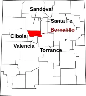 Map of New Mexico highlighting Bernalillo County | |
| Town | ||
| Villages | ||
| CDPs | ||
| Other communities | ||
| Indian reservations | ||
| Footnotes | ‡This populated place also has portions in an adjacent county or counties | |
This article is issued from Wikipedia. The text is licensed under Creative Commons - Attribution - Sharealike. Additional terms may apply for the media files.