Saint-Jules, Quebec
Saint-Jules is a parish municipality in the Beauce-Centre Regional County Municipality in the Chaudière-Appalaches region of Quebec, Canada. Its population was 547 as of the Canada 2021 Census. It is named after Pope Julius I.
Saint-Jules | |
|---|---|
 St-Jules' Church | |
 Location within Beauce-Centre RCM. | |
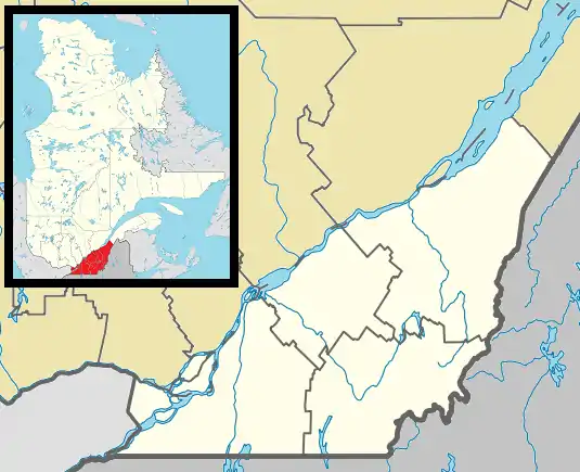 Saint-Jules Location in southern Quebec. | |
| Coordinates: 46°13′N 70°57′W[1] | |
| Country | |
| Province | |
| Region | Chaudière-Appalaches |
| RCM | Beauce-Centre |
| Constituted | May 28, 1919 |
| Named for | Pope Julius I[1] |
| Government | |
| • Mayor | Ghislaine Doyon |
| • Federal riding | Beauce |
| • Prov. riding | Beauce-Nord |
| Area | |
| • Total | 55.70 km2 (21.51 sq mi) |
| • Land | 55.73 km2 (21.52 sq mi) |
| There is an apparent contradiction between two authoritative sources | |
| Population (2021)[3] | |
| • Total | 547 |
| • Density | 9.8/km2 (25/sq mi) |
| • Pop 2016-2021 | |
| • Dwellings | 215 |
| Time zone | UTC−5 (EST) |
| • Summer (DST) | UTC−4 (EDT) |
| Postal code(s) | |
| Area code(s) | 418 and 581 |
| Highways | No major routes |
| Website | www |
Demographics
In the 2021 Census of Population conducted by Statistics Canada, Saint-Jules had a population of 547 living in 204 of its 215 total private dwellings, a change of 1.5% from its 2016 population of 539. With a land area of 55.73 km2 (21.52 sq mi), it had a population density of 9.8/km2 (25.4/sq mi) in 2021.[4]
Population
Population trend:[5]
| Census | Population | Change (%) |
|---|---|---|
| 2021 | 547 | |
| 2016 | 539 | |
| 2011 | 573 | |
| 2006 | 534 | |
| 2001 | 535 | |
| 1996 | 537 | |
| 1991 | 558 | |
| 1986 | 572 | |
| 1981 | 613 | |
| 1976 | 651 | |
| 1971 | 768 | |
| 1966 | 812 | |
| 1961 | 811 | |
| 1956 | 870 | |
| 1951 | 797 | |
| 1941 | 785 | |
| 1931 | 619 | |
| 1921 | 591 |
Notable people
- Janvier Grondin, Coalition Avenir Québec politician
- Placide Poulin, businessman
References
- "Reference number 57015 in Banque de noms de lieux du Québec". toponymie.gouv.qc.ca (in French). Commission de toponymie du Québec.
- "Geographic code 27055 in the official Répertoire des municipalités". www.mamh.gouv.qc.ca (in French). Ministère des Affaires municipales et de l'Habitation.
- "Census Profile, 2021 Census, Statistics Canada - Validation Error".
- "Population and dwelling counts: Canada, provinces and territories, and census subdivisions (municipalities), Quebec". Statistics Canada. February 9, 2022. Retrieved August 29, 2022.
- Statistics Canada: 1996, 2001, 2006, 2011, 2016, 2021 census
- Commission de toponymie du Québec
- Ministère des Affaires municipales, des Régions et de l'Occupation du territoire
Places adjacent to Saint-Jules, Quebec | |
|---|---|
| Cities & Towns | |
|---|---|
| Municipalities | |
| Parishes | |
| Villages | |
| |
This article is issued from Wikipedia. The text is licensed under Creative Commons - Attribution - Sharealike. Additional terms may apply for the media files.