Saint-Joseph-des-Érables
Saint-Joseph-des-Érables is a municipality in the Municipalité régionale de comté Beauce-Centre in Quebec, Canada. It is part of the Chaudière-Appalaches region and the population is 377 as of 2021.
Saint-Joseph-des-Érables | |
|---|---|
.jpg.webp) Farms in the Chaudière valley. | |
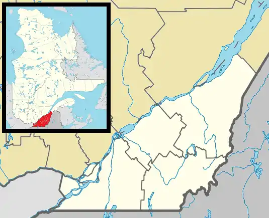
 Location within Beauce-Centre RCM. | |
 Saint-Joseph-des-Érables Location in southern Quebec. | |
| Coordinates: 46°17′N 70°55′W[1] | |
| Country | |
| Province | |
| Region | Chaudière-Appalaches |
| RCM | Beauce-Centre |
| Constituted | November 26, 1938 |
| Government | |
| • Mayor | Louis Jacques |
| • Federal riding | Beauce |
| • Prov. riding | Beauce-Nord |
| Area | |
| • Total | 52.40 km2 (20.23 sq mi) |
| • Land | 51.43 km2 (19.86 sq mi) |
| Population (2021)[3] | |
| • Total | 377 |
| • Density | 7.3/km2 (19/sq mi) |
| • Pop 2016-2021 | |
| • Dwellings | 154 |
| Time zone | UTC−5 (EST) |
| • Summer (DST) | UTC−4 (EDT) |
| Postal code(s) | |
| Area code(s) | 418 and 581 |
| Highways | |
| Website | www.stjoseph deserables.com |
Saint-Joseph-des-Érables lies on the western bank of the Chaudière River, facing Saint-Joseph-de-Beauce, from which it has split in 1938. "Érables" refers to the large presence of maple trees on the municipality's territory.
Demographics
Population trend:[4]
- Population in 2021: 377 (2016 to 2021 population change: -8%)
- Population in 2016: 410
- Population in 2011: 420
- Population in 2006: 417
- Population in 2001: 460
- Population in 1996: 455
Private dwellings occupied by usual residents: 148 (total dwellings: 154)
References
- "Reference number 57002 in Banque de noms de lieux du Québec". toponymie.gouv.qc.ca (in French). Commission de toponymie du Québec.
- "Geographic code 27050 in the official Répertoire des municipalités". www.mamh.gouv.qc.ca (in French). Ministère des Affaires municipales et de l'Habitation.
- "Tableau de profil, Profil du recensement, Recensement de la population de 2021". 9 February 2022.
- Statistics Canada: 1996, 2001, 2006, 2011, 2016, 2021 census
- Commission de toponymie du Québec
- Ministère des Affaires municipales, des Régions et de l'Occupation du territoire
Places adjacent to Saint-Joseph-des-Érables | ||||||||||||||||
|---|---|---|---|---|---|---|---|---|---|---|---|---|---|---|---|---|
| ||||||||||||||||
| Cities & Towns | |
|---|---|
| Municipalities | |
| Parishes | |
| Villages | |
| |
This article is issued from Wikipedia. The text is licensed under Creative Commons - Attribution - Sharealike. Additional terms may apply for the media files.