Saint-Crépin, Hautes-Alpes
Saint-Crépin (French pronunciation: [sɛ̃ kʁepɛ̃]; Occitan: Sant Crespin) is a commune in the Hautes-Alpes department in southeastern France.
Saint-Crépin | |
|---|---|
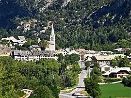 The village of Saint-Crépin, with the church and surrounding buildings | |
.svg.png.webp) Coat of arms | |
Location of Saint-Crépin | |
 Saint-Crépin 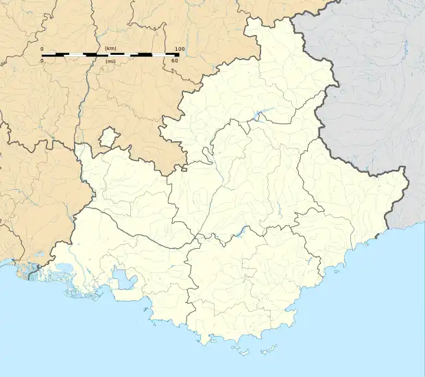 Saint-Crépin | |
| Coordinates: 44°42′27″N 6°36′29″E | |
| Country | France |
| Region | Provence-Alpes-Côte d'Azur |
| Department | Hautes-Alpes |
| Arrondissement | Briançon |
| Canton | Guillestre |
| Government | |
| • Mayor (2020–2026) | Jean-Louis Queyras[1] |
| Area 1 | 46.3 km2 (17.9 sq mi) |
| Population | 732 |
| • Density | 16/km2 (41/sq mi) |
| Time zone | UTC+01:00 (CET) |
| • Summer (DST) | UTC+02:00 (CEST) |
| INSEE/Postal code | 05136 /05600 |
| Elevation | 894–2,905 m (2,933–9,531 ft) (avg. 920 m or 3,020 ft) |
| 1 French Land Register data, which excludes lakes, ponds, glaciers > 1 km2 (0.386 sq mi or 247 acres) and river estuaries. | |
Population
| Year | Pop. | ±% |
|---|---|---|
| 1962 | 391 | — |
| 1968 | 400 | +2.3% |
| 1975 | 402 | +0.5% |
| 1982 | 507 | +26.1% |
| 1990 | 533 | +5.1% |
| 1999 | 541 | +1.5% |
| 2008 | 592 | +9.4% |
References
- "Répertoire national des élus: les maires". data.gouv.fr, Plateforme ouverte des données publiques françaises (in French). 2 December 2020.
- "Populations légales 2020". The National Institute of Statistics and Economic Studies. 29 December 2022.
Wikimedia Commons has media related to Saint-Crépin, Hautes-Alpes.
This article is issued from Wikipedia. The text is licensed under Creative Commons - Attribution - Sharealike. Additional terms may apply for the media files.