Saint-Andiol
Saint-Andiol (French pronunciation: [sɛ̃.t‿ɑ̃djɔl]; Occitan: Sant Andiòu) is a commune in the Bouches-du-Rhône department in the Provence-Alpes-Côte d'Azur region in Southern France. In 2019, it had a population of 3,346.
Saint-Andiol
| |
|---|---|
 The church in Saint-Andiol | |
.svg.png.webp) Coat of arms | |
Location of Saint-Andiol | |
 Saint-Andiol 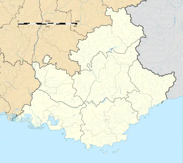 Saint-Andiol | |
| Coordinates: 43°50′11″N 4°56′43″E | |
| Country | France |
| Region | Provence-Alpes-Côte d'Azur |
| Department | Bouches-du-Rhône |
| Arrondissement | Arles |
| Canton | Châteaurenard |
| Intercommunality | CA Terre de Provence |
| Government | |
| • Mayor (2020–2026) | Daniel Robert[1] |
| Area 1 | 16 km2 (6 sq mi) |
| Population | 3,396 |
| • Density | 210/km2 (550/sq mi) |
| Time zone | UTC+01:00 (CET) |
| • Summer (DST) | UTC+02:00 (CEST) |
| INSEE/Postal code | 13089 /13670 |
| Elevation | 47–67 m (154–220 ft) (avg. 53 m or 174 ft) |
| 1 French Land Register data, which excludes lakes, ponds, glaciers > 1 km2 (0.386 sq mi or 247 acres) and river estuaries. | |
Demographics
|
| ||||||||||||||||||||||||||||||||||||||||||||||||||||||||||||||||||||||||||||||||||||||||||||||||||||||||||||||||||
| Source: EHESS[3] and INSEE (1968–2017)[4] | |||||||||||||||||||||||||||||||||||||||||||||||||||||||||||||||||||||||||||||||||||||||||||||||||||||||||||||||||||
References
- "Répertoire national des élus: les maires" (in French). data.gouv.fr, Plateforme ouverte des données publiques françaises. 4 May 2022.
- "Populations légales 2020". The National Institute of Statistics and Economic Studies. 29 December 2022.
- Des villages de Cassini aux communes d'aujourd'hui: Commune data sheet Saint-Andiol, EHESS (in French).
- Population en historique depuis 1968, INSEE
Wikimedia Commons has media related to Saint-Andiol.
This article is issued from Wikipedia. The text is licensed under Creative Commons - Attribution - Sharealike. Additional terms may apply for the media files.