Sahawar
Sahawar is a town and a nagar panchayat, as well as Tehsil in Kasganj district in the Indian State of Uttar Pradesh. Previously, it was part of district Etah. Ms. Nashi Khan D/o Mrs. Najeeba Khan Zeenat (Ex MLA Patiyali Constituency ) is the present chairperson of Sahawar Town. The Block Sahawar was established in 01/04/1958.
Sahawar | |
|---|---|
Town | |
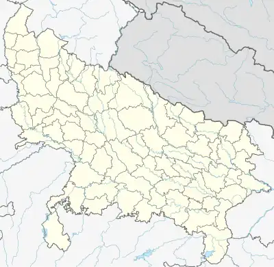 Sahawar Location in Uttar Pradesh, India | |
| Coordinates: 27.8°N 78.85°E | |
| Country | |
| State | Uttar Pradesh |
| District | Kasganj |
| Government | |
| • Type | Nagar Panchayat |
| Elevation | 176 m (577 ft) |
| Population (2011) | |
| • Total | 24,457 |
| Languages | |
| • Official | Hindi |
| Time zone | UTC+5:30 (IST) |
| PIN | 207245 |
| Telephone code | 05744 |
| Vehicle registration | UP- 87 |
Geography
Sahawar is located at 27.8°N 78.85°E.[1] It has an average elevation of 176 metres (577 feet). Sahawar is a co-community town. Sahawar, Surround s 100 km away from the cities Bareilly, Mathura, Agra, Aligarh, Mainpuri and almost 250 km From National Capital New Delhi & State Capital Lucknow. It is 12 km away from Soron and 20 km from Mahabharata State Patiyali.
Demographics
As of 2011 India census,[2] Sahawar had a population of 24,457. Males constitute 53% of the population and females 47%. Sahawar has an average literacy rate of 66%, lower than the national average of 59.5%: male literacy is 42%, and female literacy is 28%. In Sahawar, 19% of the population is under 6 years of age.
References
- Falling Rain Genomics, Inc - Sahawar
- "Census of India 2001: Data from the 2001 Census, including cities, villages and towns (Provisional)". Census Commission of India. Archived from the original on 16 June 2004. Retrieved 1 November 2008.