Sabro, Denmark
Sabro is a suburb of Aarhus in Denmark. Its population is 3,308 (1 January 2023).[1] It is located in the west of Aarhus Municipality, approximately 13 kilometres (8.1 mi) from central Aarhus.
Sabro | |
|---|---|
.JPG.webp) | |
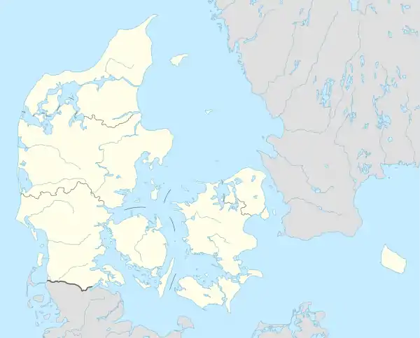 Sabro Location in Denmark  Sabro Sabro (Denmark Central Denmark Region) | |
| Coordinates: 56°12.7′N 10°02.2′E | |
| Country | Denmark |
| Region | Central Denmark (Midtjylland) |
| Municipality | Aarhus |
| Area | |
| • Urban | 1.59 km2 (0.61 sq mi) |
| Population | |
| • Urban | 3,308 |
| • Urban density | 2,100/km2 (5,400/sq mi) |
| Time zone | Central Europe Time |
| Area code | (+45) 8 |
| Website | www |
Sabro has a sports club, football fields, a gym, grocery stores, hotels, a church, two recreation centres, a dentist, a health care center, a library and a public day school, Sabro Korsvejskolen.
Onomastics
The name was recorded in about 1150 as Sahebroch and in 1386 as Saubro; it possibly derives from Old Danish *saghi, "somewhat cut", referring to tree-felling, and brōk, "swamp".
History
Sabro was originally one of the smaller villages in the area, with a few houses and farms south and west of Sabro Church.
After the road between Aarhus and Viborg (today Primærrute 26) was built through the area around 1890, a small settlement developed at the crossroads about 1 kilometre (0.62 mi) from the original village. In the mid-20th century the sogn (parish) councils of Borum-Lyngby, Lading and Sabro-Fårup (of which Sabro was part until 1 April 1970) decided to make this the location of a central school, Sabro Korsvejskolen (Sabro Crossroads School), which was dedicated in 1964.
In the 1970s and 1980s the crossroads settlement and the original village merged, as part of a strong urban growth which has since continued eastwards, covering former agricultural land in the direction of the neighbouring village of Mundelstrup.
Notes
- BY3: Population 1st January by urban areas, area and population density The Mobile Statbank from Statistics Denmark