Roseacre, Gauteng
Roseacre is a suburb of Johannesburg, South Africa. It is located in Region F of the City of Johannesburg Metropolitan Municipality.
Roseacre | |
|---|---|
 Roseacre 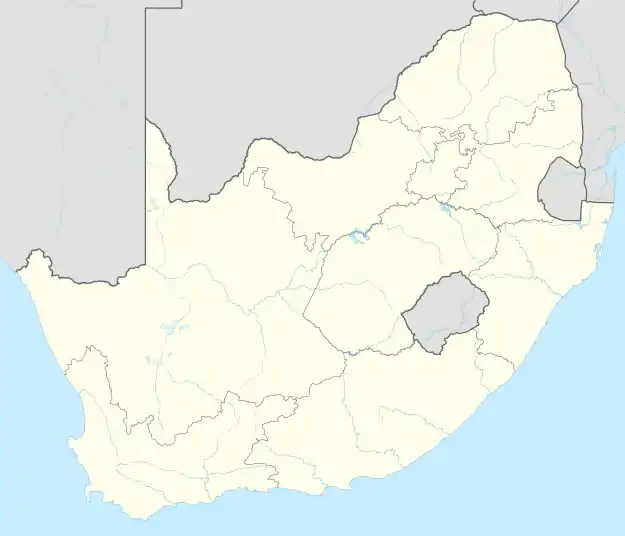 Roseacre | |
| Coordinates: 26.239°S 28.081°E | |
| Country | South Africa |
| Province | Gauteng |
| Municipality | City of Johannesburg |
| Main Place | Johannesburg |
| Established | 1947 |
| Area | |
| • Total | 0.60 km2 (0.23 sq mi) |
| Population (2011)[1] | |
| • Total | 1,709 |
| • Density | 2,800/km2 (7,400/sq mi) |
| Racial makeup (2011) | |
| • Black African | 35.9% |
| • Coloured | 14.0% |
| • Indian/Asian | 6.9% |
| • White | 37.4% |
| • Other | 5.7% |
| First languages (2011) | |
| • English | 50.6% |
| • Afrikaans | 17.0% |
| • Zulu | 8.7% |
| • Xhosa | 2.7% |
| • Other | 21.0% |
| Time zone | UTC+2 (SAST) |
| Postal code (street) | 2197 |
History
Prior to the discovery of gold on the Witwatersrand in 1886, the suburb lay on land on one of the original farms called Klipriviersberg.[2] It was a proclaimed a suburb on 14 May 1947 and named after the lands owner, William Harrison and his home town of Roseacre, Lancashire.[2]
References
- "Sub Place Roseacre". Census 2011.
- Raper, Peter E.; Moller, Lucie A.; du Plessis, Theodorus L. (2014). Dictionary of Southern African Place Names. Jonathan Ball Publishers. p. 1412. ISBN 9781868425501.
This article is issued from Wikipedia. The text is licensed under Creative Commons - Attribution - Sharealike. Additional terms may apply for the media files.