Roßleithen
Roßleithen is a municipality in the district of Kirchdorf an der Krems in the Austrian state of Upper Austria.
Roßleithen | |
|---|---|
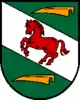 Coat of arms | |
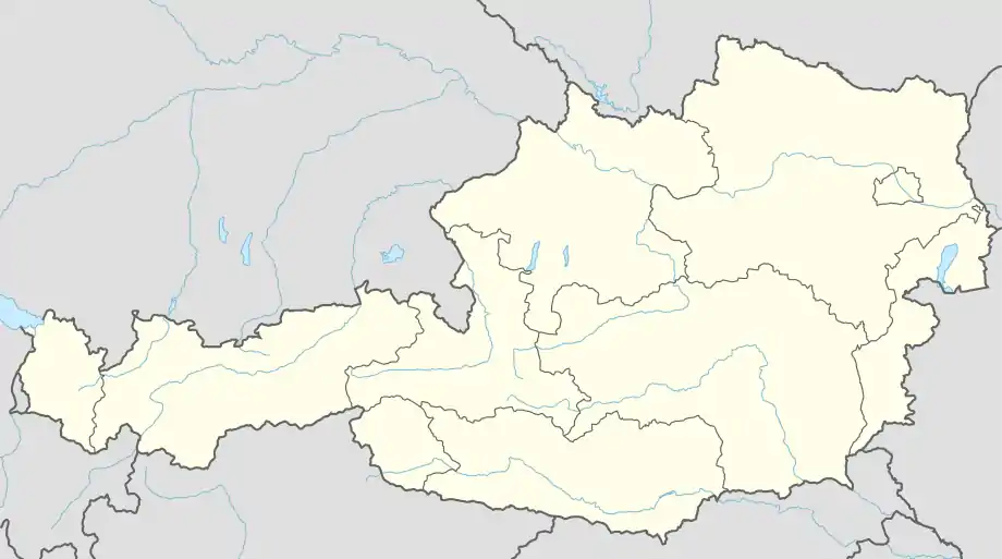 Roßleithen Location within Austria | |
| Coordinates: 47°43′29″N 14°18′36″E | |
| Country | Austria |
| State | Upper Austria |
| District | Kirchdorf an der Krems |
| Government | |
| • Mayor | Gabriele Dittersdorfer (SPÖ) |
| Area | |
| • Total | 67.49 km2 (26.06 sq mi) |
| Elevation | 588 m (1,929 ft) |
| Population (2018-01-01)[2] | |
| • Total | 1,889 |
| • Density | 28/km2 (72/sq mi) |
| Time zone | UTC+1 (CET) |
| • Summer (DST) | UTC+2 (CEST) |
| Postal code | 4580 |
| Area code | 07562 |
| Vehicle registration | KI |
| Website | www.rossleithen.at |
Geography
Roßleithen lies in the Traunviertel. About 61 percent of the municipality is forest, and 20 percent is farmland.
References
- "Dauersiedlungsraum der Gemeinden Politischen Bezirke und Bundesländer - Gebietsstand 1.1.2018". Statistics Austria. Retrieved 10 March 2019.
- "Einwohnerzahl 1.1.2018 nach Gemeinden mit Status, Gebietsstand 1.1.2018". Statistics Austria. Retrieved 9 March 2019.
Wikimedia Commons has media related to Roßleithen.
This article is issued from Wikipedia. The text is licensed under Creative Commons - Attribution - Sharealike. Additional terms may apply for the media files.