Ritchie, South Africa
Ritchie is a small town situated 40 kilometres (20 mi) south of Kimberley on the north bank of the Riet River in the Northern Cape province of South Africa. The town, with a population of approximately 15,000, is in the Sol Plaatje Local Municipality, which forms part of the Frances Baard District Municipality.
Ritchie | |
|---|---|
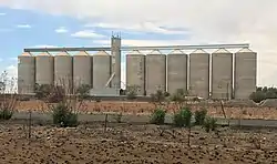 Grain silos at Modder River Station | |
 Ritchie 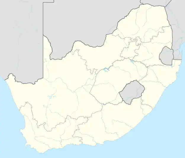 Ritchie | |
| Coordinates: 29.05°S 24.6°E | |
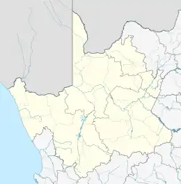
| Country | South Africa |
| Province | Northern Cape |
| District | Frances Baard |
| Municipality | Sol Plaatje |
| Area | |
| • Total | 24.8 km2 (9.6 sq mi) |
| Population (2011)[1] | |
| • Total | 14,850 |
| • Density | 600/km2 (1,600/sq mi) |
| Racial makeup (2011) | |
| • Black African | 50.9% |
| • Coloured | 45.4% |
| • Indian/Asian | 0.8% |
| • White | 2.1% |
| • Other | 0.7% |
| First languages (2011) | |
| • Afrikaans | 87.6% |
| • Tswana | 6.3% |
| • Xhosa | 1.8% |
| • Sotho | 1.6% |
| • Other | 2.7% |
| Time zone | UTC+2 (SAST) |
| Postal code (street) | 8701 |
| PO box | 8701 |
| Area code | +27 (0)53 |
Demographics
According to the 2011 census, the town of Ritchie proper has a population of 7,610, while the adjacent township of Motswedimosa has a population of 7,240, giving the urban area a population of 14,850. Of this population 50.9% described themselves as "Black African", 45.4% as "Coloured" and 2.1% as "White". 87.6% spoke Afrikaans as their home language, 6.3% spoke Tswana, 1.8% spoke Xhosa and 1.6% spoke Sotho.
References
- Sum of the Main Places Ritchie and Motswedimosa from Census 2011.
Places adjacent to Ritchie, South Africa | ||||||||||||||||
|---|---|---|---|---|---|---|---|---|---|---|---|---|---|---|---|---|
| ||||||||||||||||
Municipalities and communities of Frances Baard District Municipality, Northern Cape | ||
|---|---|---|
District seat: Kimberley | ||
| Sol Plaatje | .svg.png.webp) Frances Baard District within South Africa | |
| Phokwane | ||
| Magareng | ||
| Dikgatlong | ||
This article is issued from Wikipedia. The text is licensed under Creative Commons - Attribution - Sharealike. Additional terms may apply for the media files.