Reichertshausen
Reichertshausen is a municipality in the district of Pfaffenhofen in Bavaria in Germany and is near the A9 and between Munich and Ingolstadt.
Reichertshausen | |
|---|---|
 Coat of arms | |
Location of Reichertshausen within Pfaffenhofen a.d.Ilm district 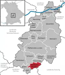 | |
 Reichertshausen 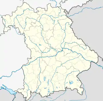 Reichertshausen | |
| Coordinates: 48°28′N 11°31′E | |
| Country | Germany |
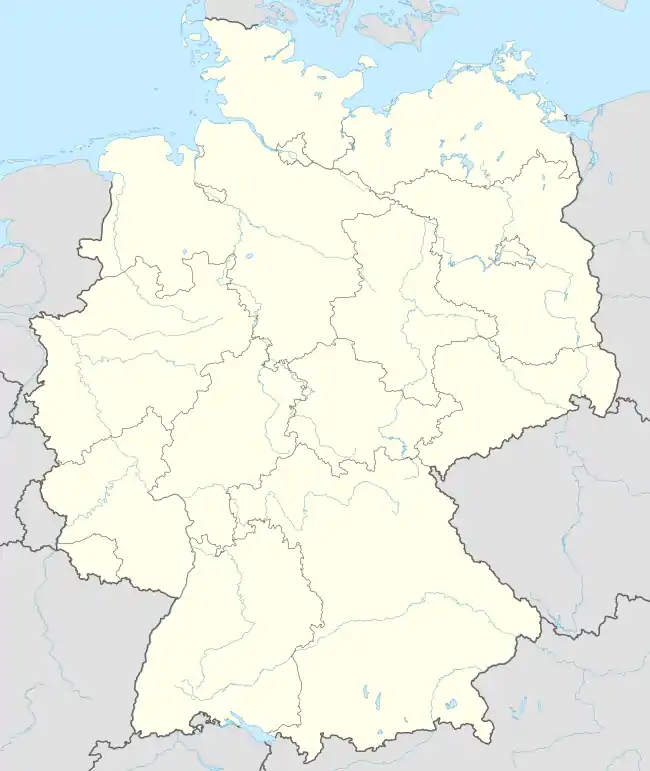
| State | Bavaria |
| Admin. region | Oberbayern |
| District | Pfaffenhofen a.d.Ilm |
| Government | |
| • Mayor (2023–29) | Benjamin Bertram-Pfister[1] (SPD) |
| Area | |
| • Total | 23.59 km2 (9.11 sq mi) |
| Elevation | 448 m (1,470 ft) |
| Population (2022-12-31)[2] | |
| • Total | 5,136 |
| • Density | 220/km2 (560/sq mi) |
| Time zone | UTC+01:00 (CET) |
| • Summer (DST) | UTC+02:00 (CEST) |
| Postal codes | 85293 |
| Dialling codes | 08441, 08137 |
| Vehicle registration | PAF |
| Website | www.reichertshausen.de |
Geography
The Bundesstrasse 13 (B13) runs through Reichertshausen. Also the river Ilm, which gives the valley (Ilmtal) its name and is a tributary to the Abens, runs through the town.
Districts
- Bärnhausen
- Grafing
- Gründholm
- Gurnöbach
- Haunstetten
- Kreut
- Langwaid
- Lausham
- Salmading
- Oberpaindorf
- Paindorf
- Pischelsdorf
- Steinkirchen
References
- Liste der ersten Bürgermeister/Oberbürgermeister in kreisangehörigen Gemeinden, Bayerisches Landesamt für Statistik. Retrieved 5 September 2023.
- Genesis Online-Datenbank des Bayerischen Landesamtes für Statistik Tabelle 12411-003r Fortschreibung des Bevölkerungsstandes: Gemeinden, Stichtag (Einwohnerzahlen auf Grundlage des Zensus 2011)
This article is issued from Wikipedia. The text is licensed under Creative Commons - Attribution - Sharealike. Additional terms may apply for the media files.