Reedy, Western Australia
Reedy is an abandoned town in the Murchison region of Western Australia. The town is located between Cue and Meekatharra in the Mid West region of Western Australia.
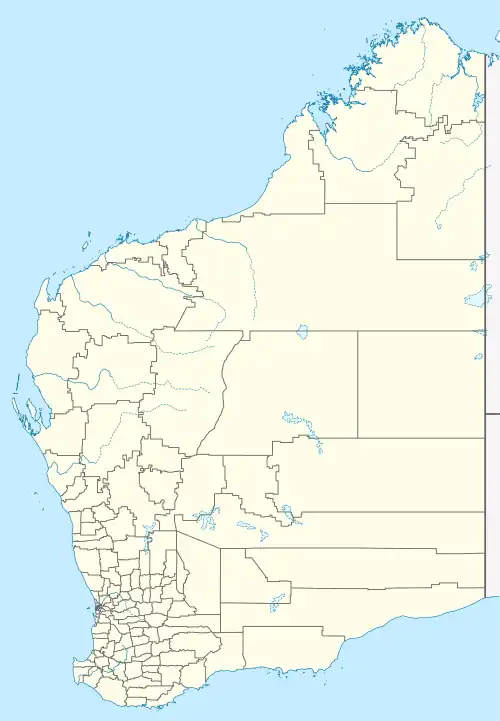
| Reedy Western Australia | |
|---|---|
 Reedy | |
| Coordinates | 27°07′20″S 118°16′52″E |
| Population | 4 (SAL 2021)[1] |
| Established | 1934 |
| Postcode(s) | 6640 |
| Elevation | 490 m (1,608 ft) |
| Area | 3,477 km2 (1,342 sq mi) |
| Location | |
| LGA(s) | Shire of Cue |
| State electorate(s) | North West |
| Federal division(s) | Durack |
Gold was discovered in the area by H. Reed in 1899–1900 and a nearby well, Reedy's Well, was named after him.[2] The well appeared on maps of the area in 1908 as a known water source. Further gold discoveries were made in the 1930s and several mines were developed. By 1933 the Cue-Day Dawn road board petitioned for a townsite to be surveyed and declared. Suggestions for the name of the town included Triton, Mathers and Reedy. The town was gazetted in 1934.[3]
References
- Australian Bureau of Statistics (28 June 2022). "Reedy (Suburb and Locality)". Australian Census 2021 QuickStats. Retrieved 28 June 2022.
- "Morowa Historical Society - Ghosttowns of Western Australia" (PDF). 2000. Retrieved 19 March 2011.
- "History of country town names – R". Western Australian Land Information Authority. Archived from the original on 14 March 2022. Retrieved 14 March 2011.
This article is issued from Wikipedia. The text is licensed under Creative Commons - Attribution - Sharealike. Additional terms may apply for the media files.