Rasnik Peak
Rasnik Peak (Bulgarian: връх Расник, romanized: vrah Rasnik, IPA: [ˈvrɤx rɐsˈnik]) is the sharp, partly ice-covered peak rising to 1066 m[1] at the southwest extremity of Chiren Heights on Velingrad Peninsula, Graham Coast in Graham Land, Antarctica. It has steep and partly ice-free northwest and southeast slopes, and surmounts Hugi Glacier and its tributary Caulfield Glacier to the south, and Holtedahl Bay to the west.
The peak is named after the settlement of Rasnik in Western Bulgaria.
Location
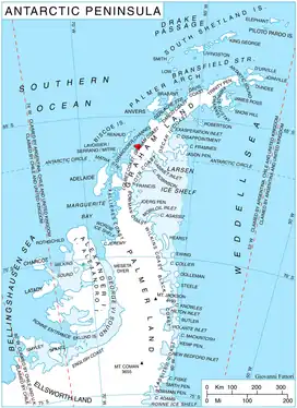
Rasnik Peak is located at 66°09′01″S 64°59′22″W, which is 17 km east of Lens Peak, 6.75 km southeast of Coblentz Peak and 9.9 km north of Ezerets Knoll. British mapping in 1976.
Maps
- Antarctic Digital Database (ADD). Scale 1:250000 topographic map of Antarctica. Scientific Committee on Antarctic Research (SCAR). Since 1993, regularly upgraded and updated.
- British Antarctic Territory. Scale 1:200000 topographic map. DOS 610 Series, Sheet W 66 64. Directorate of Overseas Surveys, Tolworth, UK, 1976.
Notes
- Reference Elevation Model of Antarctica. Polar Geospatial Center. University of Minnesota, 2019
References
- Bulgarian Antarctic Gazetteer. Antarctic Place-names Commission. (details in Bulgarian, basic data in English)
- Rasnik Peak. SCAR Composite Antarctic Gazetteer.
External links
- Rasnik Peak. Copernix satellite image
This article includes information from the Antarctic Place-names Commission of Bulgaria which is used with permission.