Priechod
Priechod (Hungarian: Perhát) is a village and municipality in Banská Bystrica District in the Banská Bystrica Region of central Slovakia.[4]
Priechod | |
|---|---|
Village | |
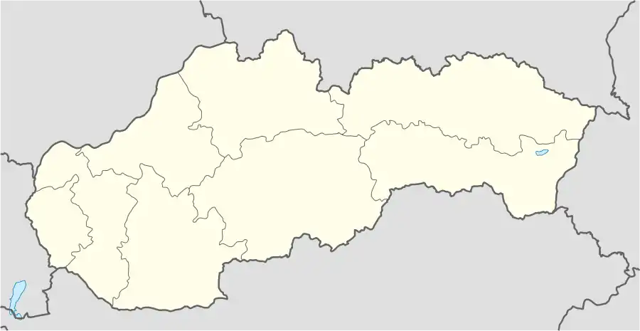 Priechod Location of Priechod in Slovakia | |
| Coordinates: 48°47′N 19°14′E | |
| Country | Slovakia |
| Region | Banská Bystrica |
| District | Banská Bystrica |
| First mentioned | 1340 |
| Area | |
| • Total | 11.21[1] km2 (4.33[1] sq mi) |
| Elevation | 463[2] m (1,519[2] ft) |
| Population (2021) | |
| • Total | 1,015[3] |
| Postal code | 976 11[2] |
| Area code | +421 48[2] |
| Car plate | BB |
History
In historical records the village was first mentioned in 1340.
Geography
The municipality lies at an altitude of 460 metres and covers an area of 11.211 km2.[5] It has a population of about 908 people.
References
- "Hustota obyvateľstva - obce [om7014rr_ukaz: Rozloha (Štvorcový meter)]". www.statistics.sk (in Slovak). Statistical Office of the Slovak Republic. 2022-03-31. Retrieved 2022-03-31.
- "Základná charakteristika". www.statistics.sk (in Slovak). Statistical Office of the Slovak Republic. 2015-04-17. Retrieved 2022-03-31.
- "Počet obyvateľov podľa pohlavia - obce (ročne)". www.statistics.sk (in Slovak). Statistical Office of the Slovak Republic. 2022-03-31. Retrieved 2022-03-31.
- "Oznamy - Oficiálna stránka obce Priechod". www.priechod.sk. Retrieved 2019-03-15.
- "Map of Priechod - Michelin Priechod map - ViaMichelin". www.viamichelin.com. Retrieved 2019-03-15.
External links
This article is issued from Wikipedia. The text is licensed under Creative Commons - Attribution - Sharealike. Additional terms may apply for the media files.