Pramet
Pramet is a municipality in the district of Ried im Innkreis in the Austrian state of Upper Austria.
Pramet | |
|---|---|
 | |
 Coat of arms | |
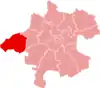
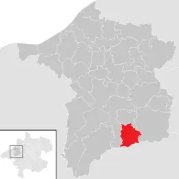 Location in the district | |
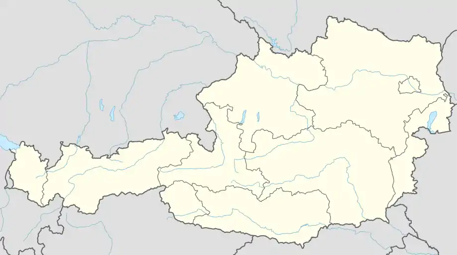 Pramet Location within Austria | |
| Coordinates: 48°08′32″N 13°29′12″E | |
| Country | Austria |
| State | Upper Austria |
| District | Ried im Innkreis |
| Government | |
| • Mayor | Eduard Seib (ÖVP) |
| Area | |
| • Total | 13.9 km2 (5.4 sq mi) |
| Elevation | 512 m (1,680 ft) |
| Population (2018-01-01)[2] | |
| • Total | 1,030 |
| • Density | 74/km2 (190/sq mi) |
| Time zone | UTC+1 (CET) |
| • Summer (DST) | UTC+2 (CEST) |
| Postal code | 4925 |
| Area code | 0 77 54 |
| Vehicle registration | RI |
| Website | www.pramet.at |
Geography
Pramet lies in the Innviertel. About 31 percent of the municipality is forest, and 59 percent is farmland.
References
- "Dauersiedlungsraum der Gemeinden Politischen Bezirke und Bundesländer - Gebietsstand 1.1.2018". Statistics Austria. Retrieved 10 March 2019.
- "Einwohnerzahl 1.1.2018 nach Gemeinden mit Status, Gebietsstand 1.1.2018". Statistics Austria. Retrieved 9 March 2019.
Wikimedia Commons has media related to Pramet.
This article is issued from Wikipedia. The text is licensed under Creative Commons - Attribution - Sharealike. Additional terms may apply for the media files.