Ponkapoag Pond
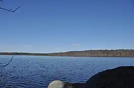
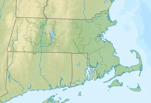
Ponkapag Pond is a 203-acre impoundment in the Blue Hills Reservation. The pond is located on the border of Canton and Randolph, Massachusetts about a half mile south of Route 128 and a half mile east of Route 138. It has a maximum depth of seven feet and an average depth of four feet. As would be expected on a pond this shallow, aquatic vegetation is pervasive and very abundant. Only a small portion of the eastern shoreline is developed; the southeastern and western shores are bordered by large expanses of marshland. A walking trail circles the pond, with parking at three locations.[1]
| Ponkapoag Pond | |
|---|---|
 Pond with Great Blue Hill in the distance | |
 Ponkapoag Pond | |
| Location | Canton, Massachusetts |
| Coordinates | 42°11′33″N 71°05′42″W |
| Type | Pond |
| Basin countries | United States |
| Managing agency | Department of Conservation and Recreation |
| Surface area | 203 acres (82 ha) |
| Max. depth | 7 feet (2.1 m) |
| Surface elevation | 151 ft (46 m) |
The name comes from a Native American word meaning a spring that bubbles up from red soil, sweet water, or shallow pond.[2]
Camping
The Appalachian Mountain Club operates the AMC Ponkapoag Camp on the eastern shore of the pond. The camp has 20 cabins and two tent sites, available for rental year-round.
Fishing

There is street-side parking and a place to launch cartop boats and canoes at Fisherman's Beach on the pond's southern side.[3]
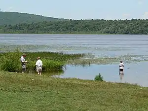
Although there are some limited areas where shore fishing is possible, the heavy weeds make it difficult to cover much productive water without a boat. There are abundant bass, panfish and pickerel, though trophy fish are decidedly rare.[3]
Image gallery
External links
References
- "Blue Hills Reservation Trail Map". Mass.gov. Department of Conservation and Recreation. Retrieved 30 May 2021.
- "Ponkapoag Pond". USGS.GOV. Geographic Names Information System (GNIS). Retrieved 21 June 2018.
- "Ponkapoag Pond (Randolph & Canton)" (PDF). Massachusetts Pond Maps. Massachusetts Division of Fisheries and Wildlife (MassWildlife). Retrieved 20 June 2018.


