Ponikva pri Žalcu
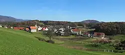
Ponikva pri Žalcu (pronounced [ˈpoːnikʋa pɾi ˈʒaːu̯tsu]) is a village in the Municipality of Žalec in east-central Slovenia. It lies in the Ložnica Hills (Slovene: Ložniško gričevje) northwest of Žalec. The area is part of the traditional region of Styria. The municipality is now included in the Savinja Statistical Region.[2]
Ponikva pri Žalcu | |
|---|---|
 | |
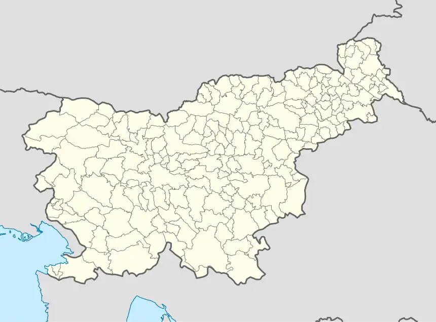 Ponikva pri Žalcu Location in Slovenia | |
| Coordinates: 46°18′49.49″N 15°8′8.49″E | |
| Country | |
| Traditional region | Styria |
| Statistical region | Savinja |
| Municipality | Žalec |
| Area | |
| • Total | 5.31 km2 (2.05 sq mi) |
| Elevation | 418.5 m (1,373.0 ft) |
| Population (2002) | |
| • Total | 339 |
| [1] | |
History
The settlement of Ponikva pri Žalcu was created in 1953, when the formerly separate villages of Spodnja Ponikva and Zgornja Ponikva were merged into a single settlement.[3]
Church
The parish church in the settlement is dedicated to Saint Pancras (Slovene: sveti Pankracij) and belongs to the Roman Catholic Diocese of Celje. It was a 16th-century building that was rebuilt in 1925.[4]
References
- Statistical Office of the Republic of Slovenia
- Žalec municipal site
- Marinković, Dragan (1991). Abecedni spisak naselja u SFRJ. Promene u sastavu i nazivima naselja za period 1948–1990. Belgrade: Savezni zavod za statistiku. pp. 80, 95, 120.
- Slovenian Ministry of Culture register of national heritage reference number ešd 2988
External links

This article is issued from Wikipedia. The text is licensed under Creative Commons - Attribution - Sharealike. Additional terms may apply for the media files.