Peytonsburg, Kentucky
Peytonsburg is an unincorporated community in Cumberland County, Kentucky, United States.
Peytonsburg | |
|---|---|
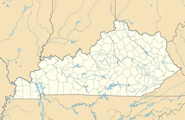 Peytonsburg Location within the state of Kentucky  Peytonsburg Peytonsburg (the United States) | |
| Coordinates: 36°38′3″N 85°23′34″W | |
| Country | United States |
| State | Kentucky |
| County | Cumberland |
| Elevation | 1,001 ft (305 m) |
| Time zone | UTC-6 (Central (CST)) |
| • Summer (DST) | UTC-5 (CDT) |
| GNIS feature ID | 508812 |
Geography
It lies along Route 61 south of the city of Burkesville, the county seat of Cumberland County, and almost on the Tennessee border.[1] Its elevation is 1,001 feet (305 m).[2]
References
- Rand McNally. The Road Atlas '06. Chicago: Rand McNally, 2006, p. 42.
- U.S. Geological Survey Geographic Names Information System: Peytonsburg, Kentucky, Geographic Names Information System, 1979-09-20. Accessed 2007-12-31.
Municipalities and communities of Cumberland County, Kentucky, United States | ||
|---|---|---|
| City | 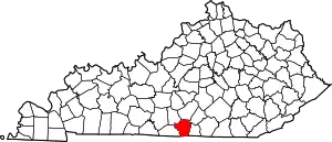 Location of Cumberland County, Kentucky | |
| CDP | ||
| Other unincorporated communities | ||
This article is issued from Wikipedia. The text is licensed under Creative Commons - Attribution - Sharealike. Additional terms may apply for the media files.