Peddie, South Africa
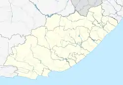
Peddie (Xhosa: iNgqushwa) is a town in the Ngqushwa Local Municipality[2] within the Amathole District Municipality in the Eastern Cape province of South Africa.
Peddie
iNgqushwa | |
|---|---|
.jpg.webp) | |
 Peddie 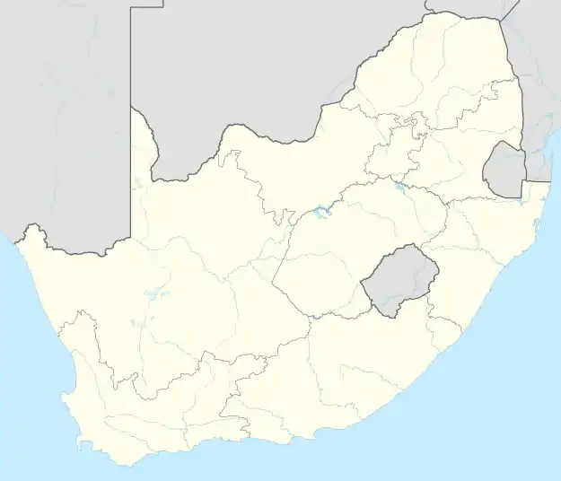 Peddie  Peddie | |
| Coordinates: 33.196°S 27.116°E | |
| Country | South Africa |
| Province | Eastern Cape |
| District | Amathole |
| Municipality | Ngqushwa |
| Area | |
| • Total | 37.32 km2 (14.41 sq mi) |
| Population (2011)[1] | |
| • Total | 4,658 |
| • Density | 120/km2 (320/sq mi) |
| Racial makeup (2011) | |
| • Black African | 98.2% |
| • Coloured | 1.4% |
| • Indian/Asian | 0.1% |
| • White | 0.2% |
| • Other | 0.2% |
| First languages (2011) | |
| • Xhosa | 86.4% |
| • English | 7.5% |
| • Afrikaans | 1.5% |
| • Other | 4.6% |
| Time zone | UTC+2 (SAST) |
| Postal code (street) | 5640 |
| PO box | 5640 |
| Area code | 040 |
The town is situated 55 km south-west of Qonce and 67 km east of Makhanda. It developed from a frontier post established in 1835 and named Fort Peddie, and became a municipality in 1905. Named after Lieutenant-Colonel John Peddie (died 1840), who led the 72nd Highlanders against the Xhosa in the Sixth Frontier War.[3]
A large provincial hospital on the outskirts of Peddie is named Nompumelelo Hospital.[4]
References
- "Main Place Peddie". Census 2011.
- "Overview | Ngqushwa Local Municipality". ngqushwamun.gov.za. Retrieved 8 August 2018.
- "Dictionary of Southern African Place Names (Public Domain)". Human Science Research Council. p. 359.
- "Eastern Cape Department of Health - Nompumelelo Hospital". Archived from the original on 2 February 2014. Retrieved 24 January 2014.
Municipalities and communities of Amathole District Municipality, Eastern Cape | ||
|---|---|---|
District seat: East London | ||
| Amahlathi | .svg.png.webp) Amathole District within South Africa | |
| Great Kei |
| |
| Mbhashe |
| |
| Mnquma |
| |
| Ngqushwa | ||
| Raymond Mhlaba |
| |
This article is issued from Wikipedia. The text is licensed under Creative Commons - Attribution - Sharealike. Additional terms may apply for the media files.