Palma de Gandia
Palma de Gandia (Valencian pronunciation: [ˈpalma ðe ɣanˈdi.a]; Spanish: Palma de Gandía) is a municipality in the comarca of Safor in the Valencian Community, Spain.
Palma de Gandia | |
|---|---|
 Coat of arms | |
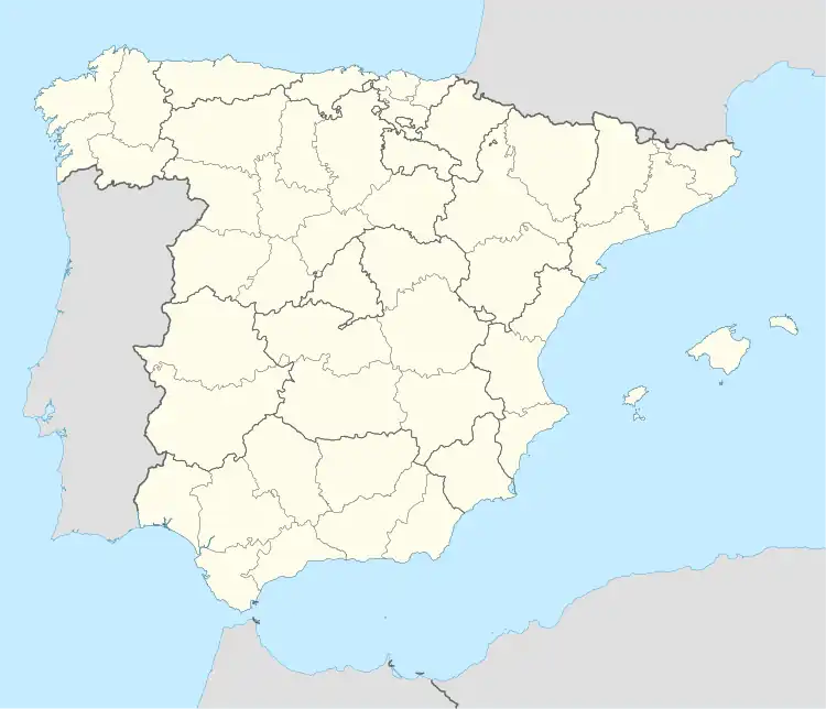 Palma de Gandia Location in Spain | |
| Coordinates: 38°55′30″N 0°13′21″W | |
| Country | |
| Autonomous community | |
| Province | Valencia |
| Comarca | Safor |
| Judicial district | Gandia |
| Government | |
| • Alcaldesa | Pepa Bosca (PP) |
| Area | |
| • Total | 14 km2 (5 sq mi) |
| Elevation | 45 m (148 ft) |
| Population (2018)[1] | |
| • Total | 1,543 |
| • Density | 110/km2 (290/sq mi) |
| Demonym(s) | Palmer, palmera |
| Time zone | UTC+1 (CET) |
| • Summer (DST) | UTC+2 (CEST) |
| Postal code | 46724 |
| Official language(s) | Valencian |
| Website | Official website |
The municipality of Palma de Gandia limited to the following locations: Ador, Alfauir, Beniarjó, Beniflà, Gandia, Potries, Real de Gandia and Ròtova, all in the province of Valencia.
References
- Municipal Register of Spain 2018. National Statistics Institute.

This article is issued from Wikipedia. The text is licensed under Creative Commons - Attribution - Sharealike. Additional terms may apply for the media files.