Pakse International Airport
Pakse International Airport (IATA: PKZ, ICAO: VLPS) is one of the few international airports in Laos. Pakse is the former southern capital city of the Kingdom of Champasak.
Pakse International Airport ສະຫນາມບິນສາກົນປາກເຊ | |||||||||||
|---|---|---|---|---|---|---|---|---|---|---|---|
 | |||||||||||
| Summary | |||||||||||
| Airport type | Military of Laos/Civil Aviation Authority | ||||||||||
| Operator | Military of Laos | ||||||||||
| Location | Pakxe | ||||||||||
| Elevation AMSL | 351 ft / 107 m | ||||||||||
| Coordinates | 15°08′02″N 105°46′55″E | ||||||||||
| Map | |||||||||||
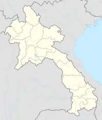
 PKZ Location of airport in Laos | |||||||||||
| Runways | |||||||||||
| |||||||||||
Facilities
The airport has been in use since 1959[1] and re-opened after renovations in 2001. A new control tower next to the terminal replaced a short one to provide ATC at the airport. The terminal is designed to mimic the Lan Xang-style architecture used for Buddhist temples in Laos.
Though civilian, the airfield is also used by the military. Lao People's Army barracks and the headquarters of Military Region 4 are next to the airport. The airport is a military airfield for Lao People's Liberation Army Air Force aircraft as a detachment base.[2]
Airlines and destinations
| Airlines | Destinations |
|---|---|
| Lao Airlines | Ho Chi Minh City,[3] Luang Prabang, Siem Reap, Vientiane[4] |
| Lao Skyway | Vientiane |
Accidents and incidents
- On 16 October 2013, Lao Airlines Flight 301, operated by an ATR 72–600 crashed into the Mekong River on approach to Pakse, killing all 49 people on board. It was later determined that the causes of the crash included pilot error and poor weather caused by the remnants of Typhoon Nari that is affecting Southern Laos.
References
- Laos Military Air Bases and Airfields. Aeroflight.co.uk.
- Lao People's Liberation Army Air Force. Aeroflight.co.uk.
- Lao Airlines to Start Seoul Service from late-Dec 2012; Outlines Planned Expansion. Airline Route (26 October 2012).
- http://www.laoairlines.com/image/modBannerAds/file_9348_Timetable%20S%2017%20(%20Revise%2001%20)pdf.pdf
External links
![]() Media related to Pakse International Airport at Wikimedia Commons
Media related to Pakse International Airport at Wikimedia Commons