Oxley, Victoria
Oxley is a town in Victoria, Australia, located on Snow Road, 13 kilometres (8 mi) south-east of Wangaratta, in the Rural City of Wangaratta. At the 2016 census, Oxley had a population of 631.[1]
| Oxley Victoria | |
|---|---|
 Oxley Shire Hall, built in 1875 | |
 Oxley | |
| Coordinates | 36°26′S 146°23′E |
| Population | 631 (2016 census)[1] |
| Postcode(s) | 3678 |
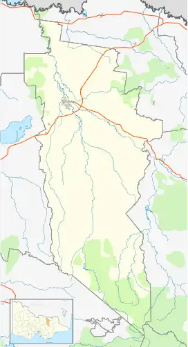
| Location |
|
| LGA(s) | Rural City of Wangaratta |
| State electorate(s) | Ovens Valley |
| Federal division(s) | Indi |
Oxley derives its name from the Oxley Plains, which were named in 1824 by the explorers Hume and Hovell after John Oxley, the Surveyor-General of New South Wales. Oxley Post Office opened on 1 January 1870. An earlier office named Oxley became Milawa.[2] The township served as the administrative centre of the Shire of Oxley until 1936.
References
- "2016 Census QuickStats Oxley (Vic.)". Australian Bureau of Statistics. Retrieved 8 December 2018.
- Phoenix Auctions History, Post Office List, retrieved 23 March 2021
Jones, Graham (1995) Memories of Oxley, Charquin Hill Publishing.
External links
Wikimedia Commons has media related to Oxley, Victoria.
Localities in the Rural City of Wangaratta | ||
|---|---|---|
| City | | |
| Town | ||
| Locality |
| |
^ - Territory divided with another LGA | ||
This article is issued from Wikipedia. The text is licensed under Creative Commons - Attribution - Sharealike. Additional terms may apply for the media files.