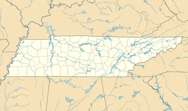
Orebank, Tennessee
Orebank is an unincorporated community and census-designated place (CDP) in Sullivan County, Tennessee. It was first listed as a CDP prior to the 2020 census.[3]
Orebank, Tennessee | |
|---|---|
 Orebank  Orebank | |
| Coordinates: 36°33′24″N 82°27′53″W | |
| Country | United States |
| State | Tennessee |
| County | Sullivan |
| Area | |
| • Total | 0.88 sq mi (2.28 km2) |
| • Land | 0.88 sq mi (2.28 km2) |
| • Water | 0.00 sq mi (0.00 km2) |
| Elevation | 1,440 ft (440 m) |
| Population | |
| • Total | 929 |
| • Density | 1,054.48/sq mi (407.23/km2) |
| Time zone | UTC-5 (Eastern (EST)) |
| • Summer (DST) | UTC-4 (EDT) |
| ZIP Code | 37664 (Kingsport) |
| Area code | 423 |
| FIPS code | 47-55980 |
| GNIS feature ID | 2804640[3] |
It is in the northwest part of the county, bordered to the north, west, and south by the city of Kingsport. It sits on a topographic bench between Chestnut Ridge to the south and the valley of Reedy Creek to the north. Reedy Creek is a west-flowing tributary of the South Fork of the Holston River, part of the Tennessee River watershed. Orebank Road is the main street through the community, leading west into Kingsport. Downtown Kingsport is 6 miles (10 km) west of Orebank.
References
- "ArcGIS REST Services Directory". United States Census Bureau. Retrieved October 15, 2022.
- "Census Population API". United States Census Bureau. Retrieved October 15, 2022.
- "Orebank Census Designated Place". Geographic Names Information System. United States Geological Survey, United States Department of the Interior.
- "Census of Population and Housing". Census.gov. Retrieved June 4, 2016.
This article is issued from Wikipedia. The text is licensed under Creative Commons - Attribution - Sharealike. Additional terms may apply for the media files.