Novi Slankamen
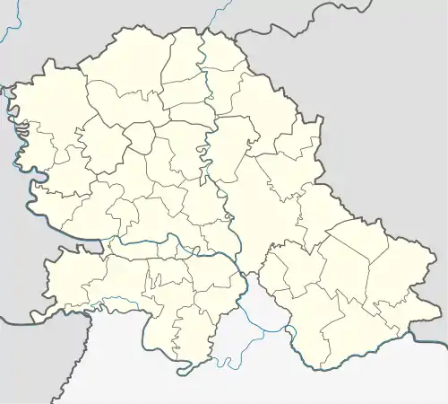
Novi Slankamen (Serbian Cyrillic: Нови Сланкамен) is a village in Serbia. It is located in the municipality of Inđija, Syrmia District, Autonomous Province of Vojvodina. Novi Slankamen is situated about 15 kilometers east of Inđija, on the bank of Danube (Dunav) and has a total population of 3,421 (2002 census).
Novi Slankamen
| |
|---|---|
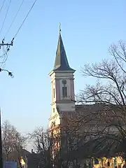
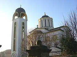 The Orthodox church. | |
 Novi Slankamen  Novi Slankamen  Novi Slankamen | |
| Coordinates: 45°08′N 20°14′E | |
| Country | |
| Province | |
| Time zone | UTC+1 (CET) |
| • Summer (DST) | UTC+2 (CEST) |
Name
In Serbian and Croatian the village is known as Novi Slankamen (Нови Сланкамен) and in Hungarian as Újszalánkemén.
Its name means "New Slankamen", while the name of the neighbouring village, Stari Slankamen, means "Old Slankamen". The name "Slankamen" itself means "the salty stone".
Geography
Ethnic groups
The population of the village consists of Serbs (79.73%), Croats (15.74%), Romani, Hungarians, Slovaks, and Germans.
History
Before the early 1990s and the migrations caused by the Yugoslav Wars, the population of Novi Slankamen consisted of Croats (66%), Serbs (31%), and other groups.
During the Yugoslav Wars, most Croats left Novi Slankamen and other settlements in the Serbian part of Syrmia. They moved to Croatia, Western Europe, North America, and Australia, while Serb refugees from Croatia, Bosnia and Herzegovina, and Kosovo settled in said places.
Historical population
- 1961: 4,372
- 1971: 4,005
- 1981: 3,210
- 1991: 2,977
Economy
The local economy is based primarily on cultivation of orchards and vineyards.
References
- Slobodan Ćurčić, Broj stanovnika Vojvodine, Novi Sad, 1996.