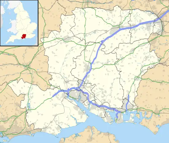
North Street, Hampshire
North Street is a hamlet in the parish of Ropley in Hampshire, England. The hamlet lies on the A31 road from Alton to Winchester.
| North Street | |
|---|---|
 North Street Location within Hampshire | |
| OS grid reference | SU644333 |
| Civil parish | |
| District | |
| Shire county | |
| Region | |
| Country | England |
| Sovereign state | United Kingdom |
| Post town | ALRESFORD |
| Postcode district | SO24 |
| Dialling code | 01962 |
| Police | Hampshire and Isle of Wight |
| Fire | Hampshire and Isle of Wight |
| Ambulance | South Central |
| UK Parliament | |
Etymology
North Street is first recorded in 1347 as 'North st.' . Later spellings are 'Northstreete' in 1521 and 'Northstrete' in 1568. The name derives from Old English 'strǽt', meaning a settlement around a road or lane. The 'north' element refers to its placement north of Ropley.
History
North Street is one of the few areas of Ropley where Romano-British settlement is known. It is unclear what sort of settlement, but metal detecting groups have uncovered a large amount of Roman finds, including pottery, coins, brooches and masonry, both to the Northeast and west of the hamlet. There is also a Romano-British enclosure recorded here.[1]
Notable buildings
- Manor Farmhouse, a late 18th century building with later expansions and with brick walls in Flemish bond.[2]
- Turnpike Cottage, a 17th-century cottage with later 18th century additions.[3]
- Ropelia Cottage, a 17th-century cottage with late 20thcentury renovations.[4]
- North Street Farmhouse, a 1730 cottage with a 1925 casement.[5]
References
- https://maps.hants.gov.uk/historicenvironment/herResults.aspx?monuid=37436
- https://maps.hants.gov.uk/historicenvironment/herResults.aspx?monuid=13821
- https://maps.hants.gov.uk/historicenvironment/herResults.aspx?monuid=13820
- https://maps.hants.gov.uk/historicenvironment/herResults.aspx?monuid=13819
- https://maps.hants.gov.uk/historicenvironment/herResults.aspx?monuid=13817
