North Stratford, New Hampshire
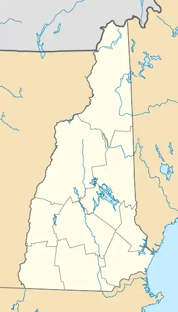
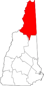
North Stratford is an unincorporated community in the town of Stratford in Coos County, New Hampshire, United States. It is located in the northwest corner of the town, along the Connecticut River and adjacent to Bloomfield, Vermont.
North Stratford, New Hampshire | |
|---|---|
 North Stratford village | |
 North Stratford  North Stratford | |
| Coordinates: 44°45′06″N 71°37′43″W | |
| Country | United States |
| State | New Hampshire |
| County | Coos |
| Town | Stratford |
| Elevation | 909 ft (277 m) |
| Time zone | UTC-5 (Eastern (EST)) |
| • Summer (DST) | UTC-4 (EDT) |
| ZIP code | 03590 |
| Area code | 603 |
| GNIS feature ID | 868815[1] |
North Stratford is located at the junction of U.S. Route 3 and Bridge Street, which becomes Vermont Route 105 when it crosses the Connecticut River. Route 3 leads north to Colebrook and south to Groveton and Lancaster.
North Stratford has a ZIP code of 03590 and is the location of the only post office in the town of Stratford.
Climate
According to the Köppen Climate Classification system, North Stratford has a warm-summer humid continental climate, abbreviated "Dfb" on climate maps. The hottest temperature recorded in North Stratford was 97 °F (36.1 °C) on June 22, 1989, while the coldest temperature recorded was −40 °F (−40.0 °C) on February 7–8, 1993 and January 2, 2018.[2]
| Climate data for North Stratford, New Hampshire, 1991–2020 normals, extremes 1968–2021 | |||||||||||||
|---|---|---|---|---|---|---|---|---|---|---|---|---|---|
| Month | Jan | Feb | Mar | Apr | May | Jun | Jul | Aug | Sep | Oct | Nov | Dec | Year |
| Record high °F (°C) | 61 (16) |
71 (22) |
80 (27) |
87 (31) |
93 (34) |
97 (36) |
95 (35) |
95 (35) |
91 (33) |
81 (27) |
72 (22) |
62 (17) |
97 (36) |
| Mean maximum °F (°C) | 47.0 (8.3) |
49.1 (9.5) |
57.9 (14.4) |
75.1 (23.9) |
83.5 (28.6) |
88.5 (31.4) |
88.8 (31.6) |
87.7 (30.9) |
84.4 (29.1) |
75.0 (23.9) |
63.4 (17.4) |
49.7 (9.8) |
90.8 (32.7) |
| Average high °F (°C) | 25.0 (−3.9) |
28.1 (−2.2) |
37.2 (2.9) |
51.5 (10.8) |
65.6 (18.7) |
74.4 (23.6) |
78.8 (26.0) |
77.3 (25.2) |
69.7 (20.9) |
56.1 (13.4) |
42.4 (5.8) |
30.9 (−0.6) |
53.1 (11.7) |
| Daily mean °F (°C) | 13.5 (−10.3) |
15.2 (−9.3) |
25.6 (−3.6) |
40.1 (4.5) |
53.0 (11.7) |
62.3 (16.8) |
66.9 (19.4) |
65.1 (18.4) |
57.5 (14.2) |
45.1 (7.3) |
33.4 (0.8) |
21.7 (−5.7) |
41.6 (5.3) |
| Average low °F (°C) | 2.1 (−16.6) |
2.3 (−16.5) |
14.1 (−9.9) |
28.7 (−1.8) |
40.4 (4.7) |
50.2 (10.1) |
55.1 (12.8) |
53.0 (11.7) |
45.4 (7.4) |
34.1 (1.2) |
24.4 (−4.2) |
12.4 (−10.9) |
30.2 (−1.0) |
| Mean minimum °F (°C) | −22.7 (−30.4) |
−21.2 (−29.6) |
−13.6 (−25.3) |
13.9 (−10.1) |
26.3 (−3.2) |
35.3 (1.8) |
42.8 (6.0) |
40.5 (4.7) |
30.4 (−0.9) |
21.5 (−5.8) |
5.2 (−14.9) |
−11.7 (−24.3) |
−27.2 (−32.9) |
| Record low °F (°C) | −40 (−40) |
−40 (−40) |
−28 (−33) |
−8 (−22) |
19 (−7) |
28 (−2) |
33 (1) |
29 (−2) |
20 (−7) |
10 (−12) |
−13 (−25) |
−30 (−34) |
−40 (−40) |
| Average precipitation inches (mm) | 2.55 (65) |
2.24 (57) |
2.42 (61) |
3.02 (77) |
3.70 (94) |
4.39 (112) |
4.54 (115) |
3.98 (101) |
3.60 (91) |
4.21 (107) |
2.92 (74) |
3.04 (77) |
40.61 (1,031) |
| Average snowfall inches (cm) | 16.9 (43) |
19.9 (51) |
13.9 (35) |
5.3 (13) |
0.1 (0.25) |
0.0 (0.0) |
0.0 (0.0) |
0.0 (0.0) |
0.0 (0.0) |
0.4 (1.0) |
5.2 (13) |
17.4 (44) |
79.1 (200.25) |
| Average precipitation days (≥ 0.01 in) | 16.4 | 14.3 | 13.2 | 13.7 | 15.1 | 16.0 | 15.1 | 13.4 | 12.2 | 14.6 | 14.8 | 18.5 | 177.3 |
| Average snowy days (≥ 0.1 in) | 13.3 | 12.4 | 8.6 | 3.3 | 0.1 | 0.0 | 0.0 | 0.0 | 0.0 | 0.4 | 5.3 | 12.9 | 56.3 |
| Source 1: NOAA[3] | |||||||||||||
| Source 2: XMACIS2[2] | |||||||||||||
Notable person
- Minik Wallace (1890-1918), Inuit brought to the United States from Greenland by explorer Robert Peary in 1897
References
- "North Stratford". Geographic Names Information System. United States Geological Survey, United States Department of the Interior.
- "xmACIS2". National Oceanic and Atmospheric Administration. Retrieved March 4, 2023.
- "U.S. Climate Normals Quick Access – Station: N Stratford, NH". National Oceanic and Atmospheric Administration. Retrieved March 4, 2023.
