Non Sombun, Bueng Kan
Non Sombun (Thai: โนนสมบูรณ์) is a sub-district (tambon) in Mueang Bueng Kan District, Bueng Kan Province, far northeastern Thailand. As of 2012, it has a population of 10,376 people.[1] It lies on Thailand Route 222, south of Bueng Kan.
Non Sombun
โนนสมบูรณ์ | |
|---|---|
 Seal | |
 Non Sombun | |
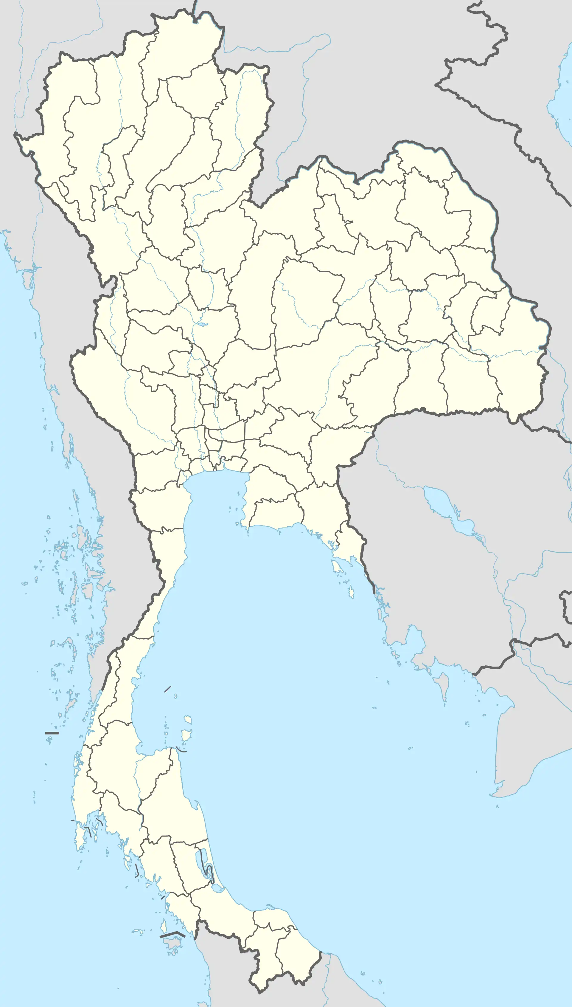
| Coordinates: 18°17′54″N 103°39′10″E | |
| Country | Thailand |
| Province | Bueng Kan |
| District | Mueang Bueng Kan |
| Government | |
| • Type | Subdistrict Administrative Organization (SAO) |
| Area | |
| • Total | 63.0 km2 (24.3 sq mi) |
| Population (2022)[1] | |
| • Total | 10,376 |
| • Density | 165/km2 (430/sq mi) |
| Time zone | UTC+7 (ICT) |
| Postal code | 38000 |
| Calling code | 042 |
| Geocode | 38010200 |
| Website | bknonsomboon |
History
The sub-district was created in 1968, when 12 administrative villages were split from Bueng Kan subdistrict to form the new sub-district.[2] In 1978 the sub-district Na Sawan was split off from Non Sombun.[3]
Geography
The topography of Non Sombun subdistrict is a high hill on the west side slopes down to the east side. The deep undulation on the east side has a marshy area in the middle.[4]
Administration
Central government
The administration of ฺNon Sombun subdistrict (tambon) is responsible for an area that covers 63.0 square kilometres (24.3 sq mi) and consists of thirteen administrative villages (muban). As of 2022: 10,376 people.[1]
| Village | English | Thai | People |
|---|---|---|---|
| Moo1 | Ban Non Sombun | บ้านโนนสมบูรณ์ | 868 |
| Moo2 | Ban Don Udom | บ้านดอนอุดม | 1,010 |
| Moo3 | Ban Dok Ngam | บ้านโดกงาม | 558 |
| Moo4 | Ban Thong Sai | บ้านทองสาย | 1,051 |
| Moo5 | Ban Kamphaeng Phet | บ้านกำแพงเพชร | 1,124 |
| Moo6 | Ban Non Champa | บ้านโนนจำปา | 735 |
| Moo7 | Ban Dong Tong | บ้านดงต้อง | 805 |
| Moo8 | Ban Non Kham Phu | บ้านโนนคำภู | 718 |
| Moo9 | Ban Pho Thong | บ้านโพธิ์ทอง | 949 |
| Moo10 | Ban Nong Khong Dam | บ้านหนองฆ้องดำ | 593 |
| Moo11 | Ban Khok Sa-ad | บ้านโคกสะอาด | 444 |
| Moo12 | Ban Don Kaew | บ้านดอนแก้ว | 588 |
| Moo13 | Ban Sai Thong | บ้านทรายทอง | 933 |
Temples
Non Sombun subdistrict is home to the following active temples, where Theravada Buddhism is practised by local residents:[5]
| Temple name | Thai | Location |
|---|---|---|
| Wat Si Muang Thammakhun | วัดศรีเมืองธรรมคุณ | Moo1 |
| Wat Sawang Aranya Waree | วัดสว่างอรัญวารี | Moo4 |
| Wat Pho Ngam | วัดโพธิ์งาม | Moo9 |
References
- "Official statistics registration system". Department of Provincial Administration. Retrieved 1 August 2023, year 2022 >village level >ExcelFile >no.38010200 >Excel line 34544-34557
{{cite web}}: CS1 maint: postscript (link) - ประกาศกระทรวงมหาดไทย เรื่อง ตั้งและเปลี่ยนแปลงเขตตำบลในท้องที่อำเภอโพนพิสัย อำเภอเซกา อำเภอบึงกาฬ จังหวัดหนองคาย (PDF). Royal Gazette (in Thai). 85 (48 ง): 1525–1534. 1968-05-28. Archived from the original (PDF) on December 3, 2013.
- ประกาศกระทรวงมหาดไทย เรื่อง ตั้งและเปลี่ยนแปลงเขตตำบลในท้องที่อำเภอโพนพิสัย อำเภอบึงกาฬและกิ่งอำเภอพรเจริญ จังหวัดหนองคาย (PDF). Royal Gazette (in Thai). 95 (121 ง): 3733–3739. 1978-10-31. Archived from the original (PDF) on December 3, 2013.
- "สภาพทั่วไป" [general condition] (in Thai). Retrieved 5 August 2023, > ภูมิประเทศ (terrain)
{{cite web}}: CS1 maint: postscript (link) - "list of temples". Retrieved 1 August 2023, > no.442-444
{{cite web}}: CS1 maint: postscript (link)