Newkirk, New Mexico
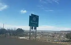
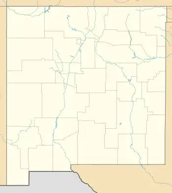
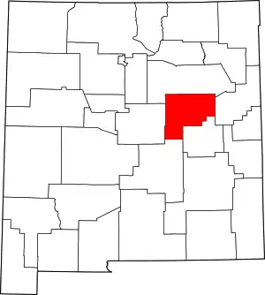
Newkirk is a village in Guadalupe County, New Mexico, United States. The community is located at the junction of Interstate 40 and New Mexico State Road 129; historic U.S. Route 66 also passes through the community. Its population was 7 as of the 2010 census. Newkirk has a post office serving ZIP Code 88431,[4][5] and a service station. It is part of the Newkirk Census Designated Place (CDP).
Newkirk, New Mexico | |
|---|---|
 | |
 | |
 Newkirk  Newkirk | |
| Coordinates: 35°04′06″N 104°15′53″W | |
| Country | United States |
| State | New Mexico |
| County | Guadalupe |
| Area | |
| • Total | 1.09 sq mi (2.82 km2) |
| • Land | 1.09 sq mi (2.82 km2) |
| • Water | 0.00 sq mi (0.00 km2) |
| Elevation | 4,560 ft (1,390 m) |
| Population | |
| • Total | 8 |
| • Density | 7.35/sq mi (2.84/km2) |
| Time zone | UTC-7 (Mountain (MST)) |
| • Summer (DST) | UTC-6 (MDT) |
| ZIP code | 88431 |
| Area code | 575 |
| GNIS feature ID | 918267[3] |
Newkirk was originally called Conant, it was founded in the early 20th century. In the 1930s Newkirk had four gas stations, several restaurants, De Baca's Trading Post, and a scattering of cabins.[6]
Education
Its school district is Santa Rosa Consolidated Schools.[8]
Notable person
- Fabiola Cabeza de Baca Gilbert (1894-1991) - educator, nutritionist, activist, writer, inventor of the u-shaped fried taco shell.
References
- "ArcGIS REST Services Directory". United States Census Bureau. Retrieved October 12, 2022.
- "Census Population API". United States Census Bureau. Retrieved October 12, 2022.
- "Newkirk". Geographic Names Information System. United States Geological Survey, United States Department of the Interior.
- United States Postal Service (2012). "USPS - Look Up a ZIP Code". Retrieved February 15, 2012.
- "Postmaster Finder - Post Offices by ZIP Code". United States Postal Service. Retrieved September 22, 2013.
- Hinkley, Jim (2011). Ghost Towns of Route 66. Minneapolis: Voyageur Press. pp. 100, 103–103. ISBN 978-0-7603-3843-8.
- "Census of Population and Housing". Census.gov. Retrieved June 4, 2016.
- "2020 CENSUS - SCHOOL DISTRICT REFERENCE MAP: Guadalupe County, NM" (PDF). U.S. Census Bureau. Retrieved September 4, 2022.
This article is issued from Wikipedia. The text is licensed under Creative Commons - Attribution - Sharealike. Additional terms may apply for the media files.
