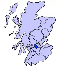
Muirhead, North Lanarkshire
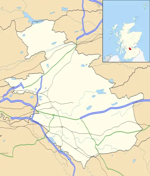
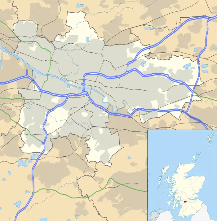
Muirhead is a small town approximately 7 miles (11 km) north-east of Glasgow city centre. Nearby villages and towns include Chryston, Garnkirk, Gartcosh, Moodiesburn, Lenzie and Stepps.[3] Muirhead has a population of around 1,390. It is a commuter town to Glasgow with road links with the A80/M80 and frequent bus services the 37c x35, x37, and x3. Muirhead is located approximately two miles from Gartcosh, Lenzie and Stepps railway stations.
Muirhead
| |
|---|---|
.jpg.webp) Muirhead from the air | |
| Population | 1,830 (mid-2020 est.)[2] |
| OS grid reference | NS 684 692 |
| Lieutenancy area | |
| Country | Scotland |
| Sovereign state | United Kingdom |
| Post town | GLASGOW |
| Postcode district | G69 9 |
| Police | Scotland |
| Fire | Scottish |
| Ambulance | Scottish |
| UK Parliament | |
| Scottish Parliament | |
History
The name may be related to the nearby Muirside.[4] Some old documents show Muirhead with various spellings including maps by for example William Forrest.[5]
Muirhead was little more than a hamlet before a new road was built just south of Chryston at the end of the 18th century.[6] Muirhead was formerly in the parish of Cadder.[7] Industries connected with Muirhead include coal and fire clay mining, brickmaking and distilling.[8] The New Statistical Account of 1845 reported 40 persons in 9 families at Muirhead.[9] Growth in the village followed the opening of The Garnkirk and Glasgow Railway in 1831.[10] Following the First World War a cenotaph was built in 1923 at Muirhead.[11] A primary school, St. Barbara's[12] on Elmira Road, was opened in August 1933.[13]
Current village
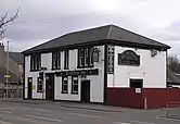
The suburb has a variety of shops including a Co-operative Food, newsagents, award-winning butcher,[14] stationers and plenty of take-away food shops. Two bars which serve the area are the Muirhead Inn and The Crowwood. A local development to the south of the village is Belhaven Park. The surrounding area has one high school and two primary schools.


References
- List of railway station names in English, Scots and Gaelic – NewsNetScotland
- "Mid-2020 Population Estimates for Settlements and Localities in Scotland". National Records of Scotland. 31 March 2022. Retrieved 31 March 2022.
- "OS 25 inch 1892-1949". National Library of Scotland. Ordnance Survey. Retrieved 26 October 2017.
- Drummond, Peter, John (2014). An analysis of toponyms and toponymic patterns in eight parishes of the upper Kelvin basin (PDF). Glasgow: Glasgow University. p. 418. Retrieved 3 July 2017.
{{cite book}}: CS1 maint: multiple names: authors list (link) - "Old County Maps". NLS. Retrieved 27 January 2018.
- "Muirhead & Chryston". Monklands Memories. Retrieved 24 February 2018.
- Wilson, John Marius (1882). The gazetteer of Scotland. Edinburgh: W. & A.K. Johnston. p. 65. Retrieved 27 February 2018.
- "Muirhead". Gazetteer of Scotland. Retrieved 24 February 2018.
- Society for the Benefit of the Sons and Daughters of the Clergy (1845). The new statistical account of Scotland. Edinburgh and London: W. Blackwood and Sons. p. 408. Retrieved 31 December 2017.
- Kidd, Neil. "Chryston - 1861-1888". The Story of Chryston. Retrieved 24 February 2018.
- "Local History". Chryston and Muirhead Business Community. Retrieved 27 February 2018.
- "St. Barbara's Primary School Handbook". North Lanarkshire Council. Retrieved 27 February 2018.
- Kidd, Neil. "Education". The Story of Chryston. Retrieved 24 February 2018.
- "The pies have it for Muirhead butchers!". Kirkintilloch Herald. 9 January 2018. Retrieved 27 February 2018.
