Morondava River
The Morondava river in Menabe region, is located in western Madagascar. It originates on the Makay Massif and flows northwestwards into the Indian Ocean[1] near the town with the same name: Morondava.
| Morondava | |
|---|---|
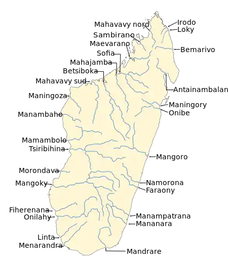 Map of Malagasy rivers. | |
| Location | |
| Country | Madagascar |
| Region | Menabe |
| Physical characteristics | |
| Source | Makay Massif |
| Mouth | |
• location | Indian Ocean, at Morondava (town) |
• coordinates | 22°20′00″S 44°15′00″E |
| Length | 200 km (120 mi) |
| Basin size | 6400 km2 |
| Basin features | |
| Progression | Morondava, Dabara dam, Ambiky |
| Tributaries | |
| • left | Fanikay, Sakamaly |
Dams
- The Dabara dam.[2]
References
This article is issued from Wikipedia. The text is licensed under Creative Commons - Attribution - Sharealike. Additional terms may apply for the media files.