Moravci v Slovenskih Goricah
Moravci v Slovenskih Goricah (pronounced [mɔˈɾaːu̯tsi ʍ slɔˈʋeːnskiɣ ɡɔˈɾiːtsax]; Slovene: Moravci v Slovenskih goricah) is a settlement in the Slovene Hills (Slovenske gorice) southwest of Ljutomer in northeastern Slovenia. The area traditionally belonged to the Styria region and is now included in the Mura Statistical Region.[2]
Moravci v Slovenskih Goricah | |
|---|---|
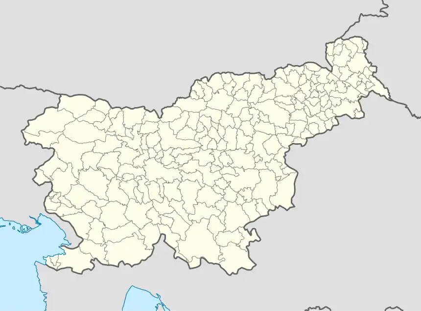 Moravci v Slovenskih Goricah Location in Slovenia | |
| Coordinates: 46°30′53.68″N 16°2′33.79″E | |
| Country | |
| Traditional region | Styria |
| Statistical region | Mura |
| Municipality | Ljutomer |
| Area | |
| • Total | 4.32 km2 (1.67 sq mi) |
| Elevation | 228.6 m (750.0 ft) |
| Population (2002) | |
| • Total | 385 |
| [1] | |
Name
The name of the settlement was changed from Moravci to Moravci v Slovenskih goricah in 1955.[3]
Cultural heritage
The local chapel is a late-19th-century Neo-Gothic building erected on the foundations of an older plague column.[4]
References
- Statistical Office of the Republic of Slovenia
- Ljutomer municipal site
- Spremembe naselij 1948–95. 1996. Database. Ljubljana: Geografski inštitut ZRC SAZU, DZS.
- Slovenian Ministry of Culture register of national heritage reference number 1213
External links
| Settlements | Administrative seat: Ljutomer
|  |
|---|---|---|
| Landmarks |
| |
| Notable people |
| |
This article is issued from Wikipedia. The text is licensed under Creative Commons - Attribution - Sharealike. Additional terms may apply for the media files.