Mora Point
Mora Point, on the Mahaicony River in the Mahaica-Berbice Region of Guyana, is a village located 18 km south of the East Coast Highway.
Mora Point | |
|---|---|
village | |
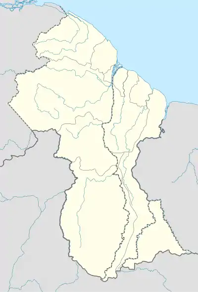 Mora Point Location in Guyana | |
| Coordinates: 6.4349°N 57.7850°W | |
| Country | |
| Region | Demerara-Mahaica |
| Population (2012)[1] | |
| • Total | 153 |
| Time zone | UTC-4 |
| Climate | Af |
It is an important settlement as the jurisdiction of its Police Outpost extends to almost the entire river.
Mainly a rice-producing village it also houses the pumping station responsible for irrigation of the rice fields in the area.[2]
Mora Point contains a Health Centre,[3] Karamat Primary School[4] and Mora Point Nursery School.
References
- "2012 Population by Village". Statistics Guyana. Retrieved 25 July 2022.
- "Design for Mora Point pump station nearing completion". Department of Public Information. Retrieved 19 August 2020.
- "Mora Point Health Centre upgraded". Guyana Chronicle. Retrieved 19 August 2020.
- "Mahaicony residents in New York make US$10,000 donation". Guyana Chronicle. Retrieved 19 August 2020.
This article is issued from Wikipedia. The text is licensed under Creative Commons - Attribution - Sharealike. Additional terms may apply for the media files.