Monashee Pass
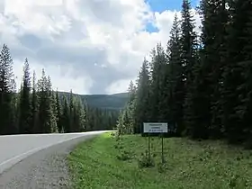
Monashee Pass, 1,189 m (3,901 ft),[1] is a mountain pass in the Monashee Mountains of the Southern Interior of British Columbia, Canada. Located southeast of Cherryville, the pass is used by British Columbia Highway 6 connecting Vernon to Nakusp on Arrow Lake,[2] and beyond to the cities of the West Kootenay. It is the "prominence col" for Big White Mountain, which is the highest mountain to its southwest.
| Monashee Pass | |
|---|---|
 | |
| Elevation | 1,189 m (3,901 ft) |
| Traversed by | |
| Location | British Columbia, Canada |
| Range | Monashee Mountains |
The word Monashee is from the Gaelic monadh, meaning mountain, and sith, pronounced shee, meaning peace. Monashee therefore means mountain of peace.[2]
Note that Monashee Summit, 1,241 m (4,072 ft) is slightly further southeast on Hwy 6 (near the Lost Lake Rest Area), and is the actual high point on the highway between Vernon & Arrow Lake.
References
- Infrastructure, Ministry of Transportation and. "Elevations of Major Summits & Passes on B.C. Highways - Province of British Columbia". www2.gov.bc.ca. Retrieved 2018-09-07.
- Community (2019-03-15). "PLACE NAMES: Selkirks, Monashees, and Purcells". Castlegar News. Retrieved 2022-02-22.