Mlimani, Handeni
Mlimani is an administrative ward in Handeni Town Council of the Tanga Region in Tanzania. It covers an area of 49.6 km2 (19.2 sq mi),[1] and has an average elevation of 766 m (2,513 ft).[2] As of the 2012 census, the population is 5,252.[3]
Mlimani
| |
|---|---|
| Kata ya Mlimani, Wilaya ya Handeni Mjini | |
 View of Town from Mlimani Ward, Handeni Urban | |
| Nickname: The roof of Handeni Town | |
 Mlimani | |
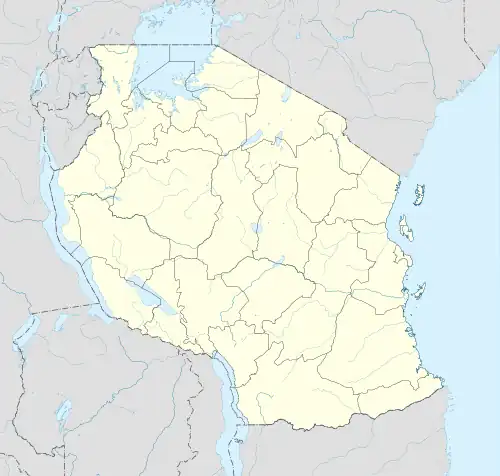
| Coordinates: 5°25′24.96″S 38°1′33.97″E | |
| Country | |
| Region | Tanga Region |
| District | Handeni Town Council |
| Area | |
| • Total | 49.6 km2 (19.2 sq mi) |
| Elevation | 766 m (2,513 ft) |
| Population (2012) | |
| • Total | 5,252 |
| • Density | 110/km2 (270/sq mi) |
| Ethnic groups | |
| • Settler | Swahili |
| • Ancestral | Zigua |
| Tanzanian Postal Code | 21824 |
References
- "Tanzania: Northern Zone Tanzania (Districts and Wards) – Population Statistics, Charts and Map".
- "Mlimani Elevation".
- "2012 Population and Housing Census General Report" (PDF). Government of Tanzania. Retrieved 2022-06-05.
This article is issued from Wikipedia. The text is licensed under Creative Commons - Attribution - Sharealike. Additional terms may apply for the media files.