Mesepa
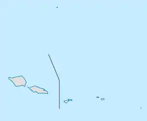
Mesepa is a village of American Samoa. It is in Tuālāuta on the main island of American Samoa, Tutuila.
Mesepa | |
|---|---|
Village | |
 Mesepa | |
| Coordinates: 14°19′53″S 170°44′40″W | |
| Country | |
| Territory | |
| County | Tuālāuta |
| Elevation | 47 m (154 ft) |
| Population (2010)[1] | |
| • Total | 444 |
| Time zone | UTC−11 (Samoa Time Zone) |
| ZIP code | 96799[2] |
| Area code | +1 684 |
| GNIS feature ID | 1389038[3] |
References
- "American Samoa Statistical Yearbook 2016" (PDF). Department of Commerce Research and Statistics Division. 2016. p. 26. Archived from the original (PDF) on 2018-05-08. Retrieved 2020-05-04.
- United States Postal Service (2012). "USPS - Look Up a ZIP Code". Archived from the original on February 14, 2012. Retrieved February 15, 2012.
- "Mesepa". Geographic Names Information System. United States Geological Survey, United States Department of the Interior. Retrieved 2020-09-30.
This article is issued from Wikipedia. The text is licensed under Creative Commons - Attribution - Sharealike. Additional terms may apply for the media files.