Merdzavan
40°10′47″N 44°23′59″E Merdzavan (Armenian: Մերձավան), is a village in the Armavir Province of Armenia, located at the western suburbs of the capital Yerevan, north of the Parakar village.
Merdzavan
Մերձավան | |
|---|---|
 Merdzavan | |
| Coordinates: 40°10′47″N 44°23′59″E | |
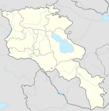
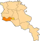
| Country | Armenia |
| Province | Armavir |
| Founded | 1947 |
| Elevation | 945 m (3,100 ft) |
| Population (2011) | |
| • Total | 3,303 |
As of the 2011 official census, Merdzavan has a population of 3,303.[1]
Geography
At a height of 945 meters above sea level, Merdzavan is located to the western edge of the Malatia-Sebastia District of the capital Yerevan. It is 40 km east of the provincial centre Armavir and 6 km east of Vagharshapat.
See also
References
This article is issued from Wikipedia. The text is licensed under Creative Commons - Attribution - Sharealike. Additional terms may apply for the media files.