Mayhill, New Mexico
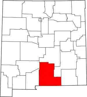
Mayhill is an unincorporated community in Otero County, New Mexico, United States.[1] It is surrounded by the Lincoln National Forest on the eastern slope of the Sacramento Mountains, at the confluence of James Canyon and Rio Penasco, approximately 17 miles (27 km) east of Cloudcroft.[2]
Mayhill, New Mexico | |
|---|---|
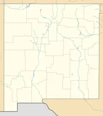
 Mayhill, New Mexico Location within the state of New Mexico | |
| Coordinates: 32°53′27″N 105°29′52″W | |
| Country | United States |
| State | New Mexico |
| County | Otero |
| Elevation | 6,700 ft (2,000 m) |
| Time zone | UTC-7 (MST) |
| • Summer (DST) | UTC-6 (MDT) |
| GNIS feature ID | 2584153[1] |
Education
Mayhill is in the Cloudcroft Municipal Schools district.[3]
References
- U.S. Geological Survey Geographic Names Information System: Mayhill, New Mexico
- "Mayhill, New Mexico". Archived from the original on April 1, 2016. Retrieved February 12, 2010.
- "2020 Census - School District Reference Map: Otero County, NM" (PDF). U.S. Census Bureau. Retrieved July 27, 2021.
This article is issued from Wikipedia. The text is licensed under Creative Commons - Attribution - Sharealike. Additional terms may apply for the media files.
