Makkvatnet
Makkvatnet (Norwegian) or Suoksavuomjávrre (Lule Sami) is a lake that lies on the border of the municipalities of Steigen and Hamarøy in Nordland county, Norway. The 3.02-square-kilometre (1.17 sq mi) lake lies about 5 kilometres (3.1 mi) west of the European route E6 highway in Hamarøy.[1]
| Makkvatnet (Norwegian) Suoksavuomjávrre (Lule Sami) | |
|---|---|
 Makkvatnet Location of the lake Show map of Nordland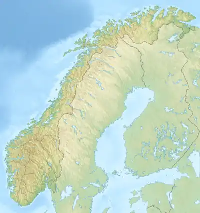 Makkvatnet Makkvatnet (Norway) Show map of Norway | |
| Location | Steigen and Hamarøy, Nordland |
| Coordinates | 67.8390°N 15.8250°E / 67.8390; 15.8250 |
| Basin countries | Norway |
| Max. length | 2.8 kilometres (1.7 mi) |
| Max. width | 1.6 kilometres (0.99 mi) |
| Surface area | 3.02 km2 (1.17 sq mi) |
| Shore length1 | 9.35 kilometres (5.81 mi) |
| Surface elevation | 117 metres (384 ft) |
| References | NVE |
| 1 Shore length is not a well-defined measure. | |
See also
References
- Store norske leksikon. "Makkvatnet" (in Norwegian). Retrieved 2012-04-25.
This article is issued from Wikipedia. The text is licensed under Creative Commons - Attribution - Sharealike. Additional terms may apply for the media files.