Macinhata do Vouga
Macinhata do Vouga is a Portuguese parish, located in the municipality of Águeda, Aveiro District. The population in 2011 was 3,406,[1] in an area of 31.95 km2.[2]
Macinhata do Vouga | |
|---|---|
 Coat of arms | |
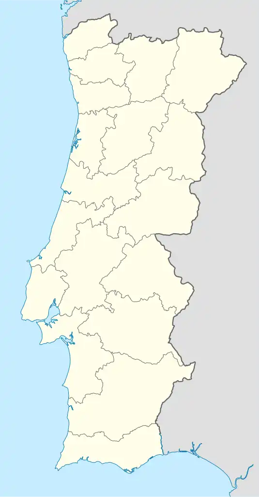 Macinhata do Vouga Location in Portugal | |
| Coordinates: 40.652°N 8.458°W | |
| Country | |
| Region | Centro |
| Intermunic. comm. | Região de Aveiro |
| District | Aveiro |
| Municipality | Águeda |
| Area | |
| • Total | 31.95 km2 (12.34 sq mi) |
| Population (2011) | |
| • Total | 3,406 |
| • Density | 110/km2 (280/sq mi) |
| Time zone | UTC±00:00 (WET) |
| • Summer (DST) | UTC+01:00 (WEST) |
| Postal code | 3750 |
Villages
- Macinhata do Vouga
- Jafafe de Baixo
- Jafafe de Cima
- Sernada do Vouga
- Carvoeiro
- Cavada Nova
- Serém de Baixo
- Serém de Cima
- Lameiro
- Pontilhão
- Mesa do Vouga
- Carvalhal da Portela (parte)
- Cavadas de Cima
- Macida
- Beco
- Soutelo
- Chãs
- Mata do Carvoeiro
- Alombada
- Moita
- Arrôta da Moita
- Carvalhal
- Cova
- Póvoa
References
- Instituto Nacional de Estatística
- "Áreas das freguesias, concelhos, distritos e país". Archived from the original on 2018-11-05. Retrieved 2018-11-05.
This article is issued from Wikipedia. The text is licensed under Creative Commons - Attribution - Sharealike. Additional terms may apply for the media files.