Low Island (South Shetland Islands)
Low Island or Isla Baja, historical names Jameson Island or Jamesons Island is an island 9 miles (14 km) long and 5 miles (8 km) wide, 14 miles (23 km) southeast of Smith Island, in the South Shetland Islands.[1] The island is located at 63°17′S 62°09′W and is separated from Smith Island by Osmar Strait. Low Island was so named because of its low elevation.[1] Low Island was known to sealers in 1820, and the name Low Island has been established in international usage for 100 years.
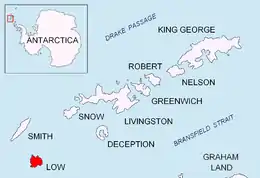 Location of Low Island in the South Shetland Islands | |
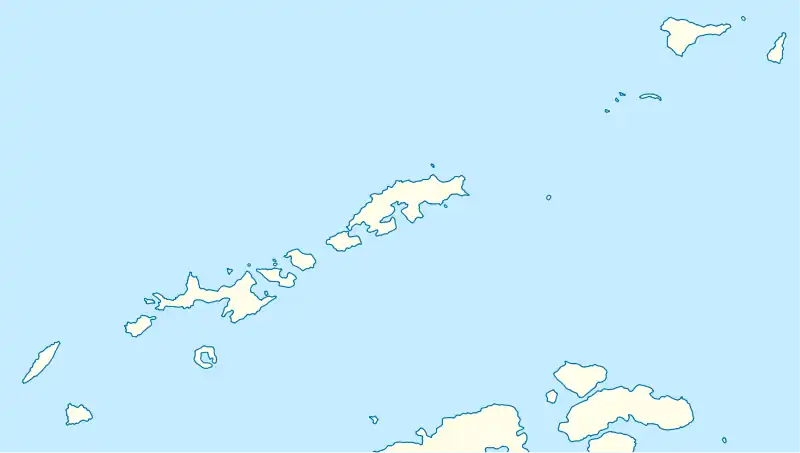 Low Island Location in the South Shetland Islands 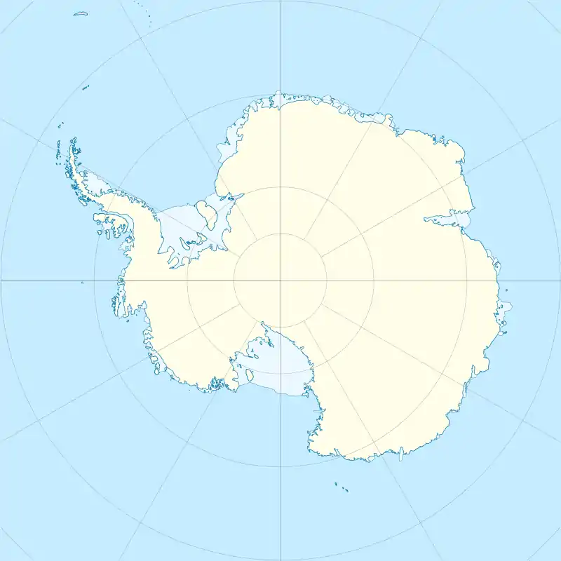 Low Island Location in Antarctica | |
| Geography | |
|---|---|
| Location | Antarctica |
| Coordinates | 63°17′S 62°09′W |
| Archipelago | South Shetland Islands |
| Length | 9 mi (14 km) |
| Width | 5 mi (8 km) |
| Administration | |
| Administered under the Antarctic Treaty System | |
| Demographics | |
| Population | 0 |
Chinstrap Penguins breed at Cape Garry on Low island resulting in 2nd largest Chinstrap Penguin colony on the island, over at 100,000 pairs.[2]
See also
Maps
- Chart of South Shetland including Coronation Island, &c. from the exploration of the sloop Dove in the years 1821 and 1822 by George Powell Commander of the same. Scale ca. 1:200000. London: Laurie, 1822.
- South Shetland Islands: Smith and Low Islands. Scale 1:150000 topographic map No. 13677. British Antarctic Survey, 2009.
References
- "Latitude" (Map). Latitude and longitude of Low Island (South Shetland Islands) In Antarctica. 16 March 2021.
- "Cape Garry, Low Island". BirdLife International. 16 March 2021. Retrieved 16 March 2021.
.svg.png.webp)
This article is issued from Wikipedia. The text is licensed under Creative Commons - Attribution - Sharealike. Additional terms may apply for the media files.