Looxahoma, Mississippi
Looxahoma is an unincorporated community in Tate County, Mississippi, United States. Looxahoma is located approximately 8 miles (13 km) east of Senatobia and approximately 8 miles (13 km) west of Tyro near Mississippi Highway 4.
Looxahoma, Mississippi | |
|---|---|
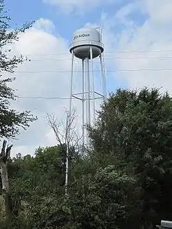 | |
 Looxahoma, Mississippi  Looxahoma, Mississippi | |
| Coordinates: 34°35′50″N 89°50′13″W | |
| Country | United States |
| State | Mississippi |
| County | Tate |
| Elevation | 381 ft (116 m) |
| Time zone | UTC-6 (Central (CST)) |
| • Summer (DST) | UTC-5 (CDT) |
| ZIP code | 38668 |
| Area code | 662 |
| GNIS feature ID | 672865[1] |
Looxahoma is a name derived from the Chickasaw language meaning "red turtle".[2]
References
Wikimedia Commons has media related to Looxahoma, Mississippi.
- U.S. Geological Survey Geographic Names Information System: Looxahoma, Mississippi
- Baca, Keith A. (2007). Native American Place Names in Mississippi. University Press of Mississippi. p. 51. ISBN 978-1-60473-483-6.
Municipalities and communities of Tate County, Mississippi, United States | ||
|---|---|---|
| City | 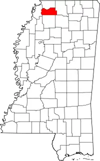 Map of Mississippi highlighting Tate County | |
| Town | ||
| CDPs | ||
| Other communities | ||


This article is issued from Wikipedia. The text is licensed under Creative Commons - Attribution - Sharealike. Additional terms may apply for the media files.