Statistical regions of Montenegro
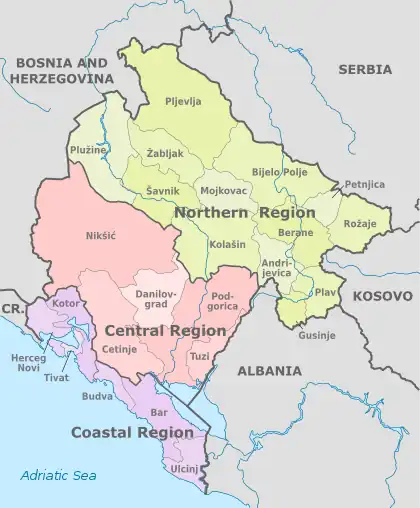
Statistical regions of Montenegro are defined, as of 2011, by the Montenegrin Regional Development Law (Zakon o regionalnom razvoju).[1] The regions, as defined by law, roughly correspond to the informal and colloquial division of Montenegro, often used by the Montenegrin media and citizens.
| Regions of Montenegro Regioni Crne Gore | |
|---|---|
 | |
| Category | Statistical regions |
| Location | Montenegro |
| Number | 3 regions |
| Populations | 146,784 (Coastal region) - 279,419 (Central region) |
| Areas | 1,591 km2 (Coastal region) – 8,399 km2 (Northern region) |
| Subdivisions | |
Regions are not administrative divisions per se; they are used for statistical and analytical purposes, to help create the outline for more uniform economic development of Montenegro. This official definition of the regions of Montenegro is one of many definitions that are in everyday use in the country. However, this division into three regions is most widespread:
List
| Name | Area | Population | Munic. | Map | ||
|---|---|---|---|---|---|---|
| Central region Централни регион Centralni region |
4,917 km2 | 2,065 km2 (Nikšić) - 501 km2 (Danilovgrad) |
279,419 | 187,085 (Podgorica) - 12,096 (Tuzi) |
5 | 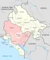 |
| Coastal region Приморски регион Primorski region |
1,591 km2 | 598 km2 (Bar) - 46 km2 (Tivat) |
146,784 | 42,068 (Bar) - 14,110 (Tivat) |
6 | 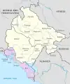 |
| Northern region Сјеверни регион Sjeverni region |
8,399 km2 | 1,346 km2 (Pljevlja) - 173 km2 (Petnjica) |
195,991 | 46,081 (Bijelo Polje) - 2,947 (Šavnik) |
13 | 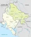 |
Central Region
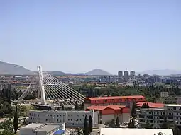
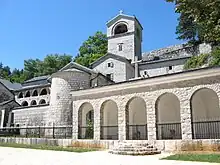
This region consists of six municipalities. It is the most populous of the regions, and contains the capital of Podgorica, historical capital of Cetinje, and the industrial center of Nikšić. Most of Montenegrin economic, cultural, educational and administration base is located within the region.
Prominent tribal, historical and geographical subregions in the central region are: Nikšići (Župa, Rudine), Golija, Banjani, Grahovo, Krivošije, Brda (Piperi, Rovca, Bratonožići, Kuči, Bjelopavlići, Lijeva rijeka), Zeta (Upper and Lower), Skenderija, Malesija, Old Montenegro (Pješivci, Čevo, Cuce, Bjelice, Njeguši, Cetinje field, Ceklin, Komani, Zagarač, Lješani and Rijeka).
| Municipality | Area | Population | Ethnic majority | Predominant language | Predominant religion | ||
|---|---|---|---|---|---|---|---|
| Km² | Rank | Total | Rank | ||||
| Cetinje | 899 | 3 | 16,757 | 4 | Montenegrin | Montenegrin | Eastern Orthodox |
| Danilovgrad | 501 | 4 | 17,678 | 3 | Montenegrin | Serbian | Eastern Orthodox |
| Nikšić | 2,065 | 1 | 72,824 | 2 | Montenegrin | Serbian | Eastern Orthodox |
| Podgorica | 1,399 | 2 | 187,085 | 1 | Montenegrin | Montenegrin | Eastern Orthodox |
| Tuzi | 236 | 5 | 12,096 | 5 | Albanian | Albanian | Roman Catholicism |
Coastal Region
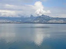
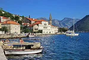
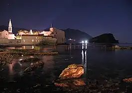
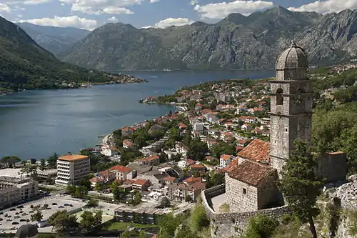
This southernmost region consists of municipalities with access to the Adriatic Sea. This region is mainly oriented towards tourism, and has a population of 146,784 (2003). Following municipalities make up the region:
Prominent tribal, historical and geographical subregions of the coastal statistical region are: Bay of Kotor, Grbalj, Budva riviera, Pobori, Brajići, Maine, Paštrovići, Spič, Crmnica, Bar, Mrkojevići, Ulcinj riviera and Skadarska Krajina.
| Municipality | Area | Population | Ethnic Majority | Predominant language | Predominant religion | ||
|---|---|---|---|---|---|---|---|
| Km² | Rank | Total | Rank | ||||
| Bar | 598 | 1 | 42,368 | 1 | Montenegrin | Montenegrin | Eastern Orthodox |
| Budva | 122 | 5 | 19,170 | 5 | Montenegrin | Serbian | Eastern Orthodox |
| Herceg Novi | 235 | 4 | 30,992 | 2 | Serb | Serbian | Eastern Orthodox |
| Kotor | 335 | 2 | 22,799 | 3 | Montenegrin | Serbian | Eastern Orthodox |
| Tivat | 46 | 6 | 14,111 | 6 | Montenegrin | Serbian | Eastern Orthodox |
| Ulcinj | 255 | 3 | 20,265 | 4 | Albanian | Albanian | Sunni Islam |
Northern Region
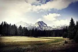
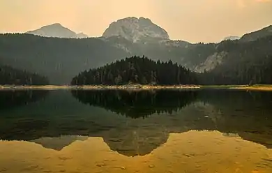
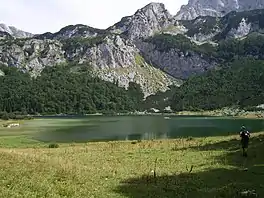
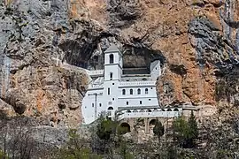
Northern region comprises eleven municipalities and is the largest by area. It encompasses the sparsely populated mountainous part of Montenegro. With the decline of the heavy industries in the 1990s, the region has seen perpetual economic hardship and migration of the population to the two southern regions.
Prominent tribal, historical and geographical subregions of the northern statistical region are: Drobnjak (Uskoci, Jezera, Šaranci), Zatarje, Pljevlja, Piva, Brda (Morača (Upper and Lower), Vasojevići), Polja, Kolašin (Upper and Lower), Southern Sanjak, Plav and Gusinje, Bihor (Upper and Lower), Polimlje and Potarje.
| Municipality | Area | Population | Ethnic Majority | Predominant language | Predominant religion | ||
|---|---|---|---|---|---|---|---|
| Km² | Rank | Total | Rank | ||||
| Andrijevica | 283 | 12 | 5,117 | 10 | Serb | Serbian | Eastern Orthodox |
| Berane | 544 | 6 | 28,305 | 3 | Serb | Serbian | Eastern Orthodox |
| Bijelo Polje | 924 | 2 | 46,676 | 1 | Serb | Serbian | Eastern Orthodox |
| Gusinje | 486 | 8 | 13,108 | 6 | Bosniak | Bosnian | Sunni Islam |
| Kolašin | 897 | 3 | 8,420 | 8 | Montenegrin | Serbian | Eastern Orthodox |
| Mojkovac | 367 | 11 | 8,669 | 7 | Montenegrin | Serbian | Eastern Orthodox |
| Petnjica | 173 | 13 | 6,686 | 9 | Bosniak | Bosnian | Sunni Islam |
| Plav | 486 | 7 | 13,549 | 5 | Bosniak | Bosnian | Sunni Islam |
| Plužine | 854 | 4 | 3,286 | 12 | Serb | Serbian | Eastern Orthodox |
| Pljevlja | 1,346 | 1 | 31,060 | 2 | Serb | Serbian | Eastern Orthodox |
| Rožaje | 432 | 10 | 23,312 | 4 | Bosniak | Bosnian | Sunni Islam |
| Šavnik | 553 | 5 | 2,077 | 13 | Montenegrin | Serbian | Eastern Orthodox |
| Žabljak | 445 | 9 | 3,599 | 11 | Montenegrin | Serbian | Eastern Orthodox |
See also
References
- "Draft of Regional Development Law". - Montenegrin only

_01.jpg.webp)


.jpg.webp)

.JPG.webp)
