La Libertad, Huehuetenango
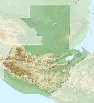
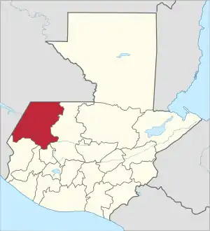
La Libertad (Spanish pronunciation: [la liβeɾˈtað]) is a town and municipality in the Guatemalan department of Huehuetenango. It is situated at 1720 metres above sea level. The municipality has a population of 38,234 (2018 census) and covers an area of 231km2.
La Libertad | |
|---|---|
Municipality | |
 La Libertad Location in Guatemala | |
| Coordinates: 15.5°N 91.8333°W | |
| Country | |
| Department | |
| Government | |
| • Mayor | Vacant |
| Area | |
| • Municipality | 231 km2 (89 sq mi) |
| Population (2018 census)[1] | |
| • Municipality | 38,234 |
| • Density | 170/km2 (430/sq mi) |
| • Urban | 6,216 |
| Climate | Aw |
References
- Citypopulation.de Population of departments and municipalities in Guatemala
External links
This article is issued from Wikipedia. The text is licensed under Creative Commons - Attribution - Sharealike. Additional terms may apply for the media files.