Kremnické Bane
Kremnické Bane (German: Johannesberg; Hungarian: Jánoshegy) is a village and municipality in Žiar nad Hronom District in the Banská Bystrica Region of central Slovakia.
Kremnické Bane | |
|---|---|
Village | |
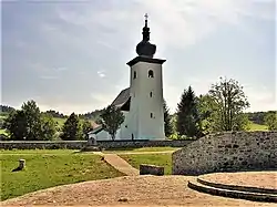 Geographical center of Europe near Kremnické Bane | |
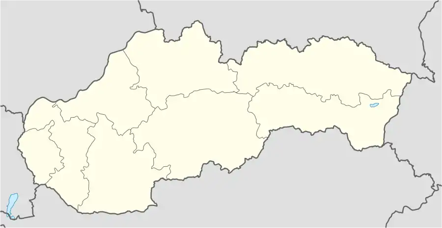 Kremnické Bane Location of Kremnické Bane in Slovakia | |
| Coordinates: 48°44′N 18°55′E | |
| Country | Slovakia |
| Region | Banská Bystrica |
| District | Žiar nad Hronom |
| Area | |
| • Total | 7.74[1] km2 (2.99[1] sq mi) |
| Elevation | 754[2] m (2,474[2] ft) |
| Population (2021) | |
| • Total | 249[3] |
| Population by ethnicity (2011) | |
| • Slovak | 84% |
| • German | 6.1% |
| • Czech | 0.8% |
| • Polish | 0.4% |
| • Unreported | 8.7% |
| Population by religion (2011) | |
| • Roman Catholic | 71.1% |
| • Lutheran | 5.3% |
| • Greek Catholic | 0.8% |
| • Non-religious | 11.4% |
| • Unreported | 11.4% |
| Postal code | 966 35[2] |
| Area code | +421 45[2] |
| Car plate | ZH |
The village once belonged to the German language island of Hauerland but the majority of the German population was expelled at the end of World War II.[6]
References
- "Hustota obyvateľstva - obce [om7014rr_ukaz: Rozloha (Štvorcový meter)]". www.statistics.sk (in Slovak). Statistical Office of the Slovak Republic. 2022-03-31. Retrieved 2022-03-31.
- "Základná charakteristika". www.statistics.sk (in Slovak). Statistical Office of the Slovak Republic. 2015-04-17. Retrieved 2022-03-31.
- "Počet obyvateľov podľa pohlavia - obce (ročne)". www.statistics.sk (in Slovak). Statistical Office of the Slovak Republic. 2022-03-31. Retrieved 2022-03-31.
- SODB - Kremnické Bane, 2011
- SODB - Kremnické Bane, 2011
- William Richter, Deutsche Sprachinseln in der Slowakei mit Fokus auf das Hauerland – Vergangenheit, Gegenwart und Zukunft, in: Linguistische Treffen in Wrocław, Vol. 20 (2021), p.265-266
This article is issued from Wikipedia. The text is licensed under Creative Commons - Attribution - Sharealike. Additional terms may apply for the media files.