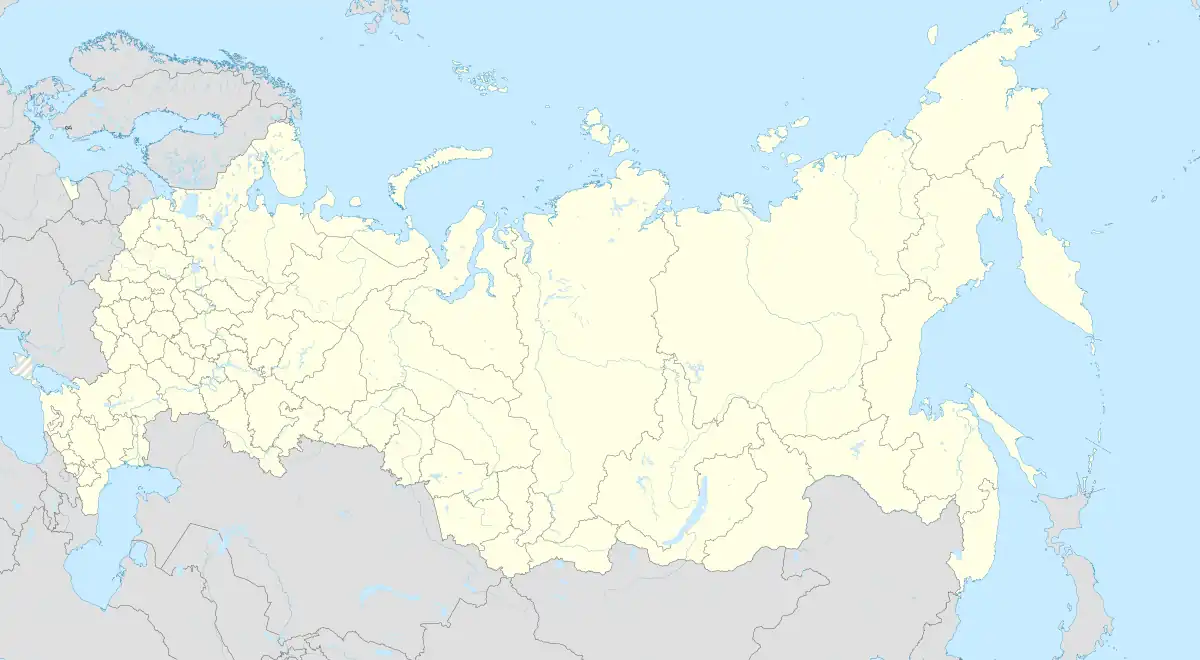
Kano, Volgograd Oblast
Kano (Russian: Кано) is a rural locality (a selo) and the administrative center of Kanovskoye Rural Settlement, Staropoltavsky District, Volgograd Oblast, Russia. The population was 407 as of 2010.[2] There are 9 streets.[3]
Kano
Кано | |
|---|---|
Selo | |
 Kano  Kano | |
| Coordinates: 50°26′N 46°38′E[1] | |
| Country | Russia |
| Region | Volgograd Oblast |
| District | Staropoltavsky District |
| Time zone | UTC+4:00 |
Geography
Kano is located in steppe, on Transvolga, on the left bank of the Solyonaya Kuba River, 17 km southeast of Staraya Poltavka (the district's administrative centre) by road. Suyetinovka is the nearest rural locality.[4]
References
- Село Кано на карте
- Всероссийская перепись населения 2010 года. Численность населения городских округов, муниципальных районов, городских и сельских поселений, городских и сельских населённых пунктов Волгоградской области
- Село Кано на карте
- Расстояние от Кано до Старой Полтавки
This article is issued from Wikipedia. The text is licensed under Creative Commons - Attribution - Sharealike. Additional terms may apply for the media files.