Kamundan River
The Kamundan River is a river in southern West Papua province, Indonesia.[2][3] Kamundan is mostly still natural with the upstream in Manokwari Regency and river mouth at the border of Bintuni Bay and Sorong Selatan Regency.[4] It is also known as the "Sungai Kamundan".[5]
| Kamundan River Wai Kamoendan, Soengai Kamoendan, Sungai Kumandan | |
|---|---|
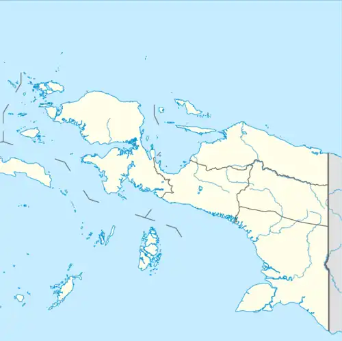 Location of river mouth | |
| Location | |
| Country | Indonesia |
| Physical characteristics | |
| Source | |
| • location | Manokwari Regency, West Papua |
| Mouth | |
• location | Bintuni Bay, Sorong Selatan Regency |
• coordinates | 2.2882°S 132.6415°E |
| Length | 340.6 km (211.6 mi)[1] |
| Basin size | 5,865 km2 (2,264 sq mi)[1] |
| Discharge | |
| • location | Near mouth |
| • average | 386.45 m3/s (13,647 cu ft/s)[1] |
Geography
The river flows in the southern area of West Papua with predominantly tropical rainforest climate (designated as Af in the Köppen-Geiger climate classification).[6] The annual average temperature in the area is 24 °C. The warmest month is January, when the average temperature is around 26 °C, and the coldest is February, at 22 °C.[7] The average annual rainfall is 3744 mm. The wettest month is June, with an average of 484 mm rainfall, and the driest is October, with 153 mm rainfall.[8]
Ecology
The Kamundan River has many trees on both banks as well as clear and calm water. Some species can be found around this river including saltwater crocodiles, primates, a variety of hornbills, yellow-crested cockatoo, dan bats.[4]
See also
References
- "Irian Jaya Coast".
- Rand McNally, The New International Atlas, 1993.
- Sungai Kamundan – Geonames.org.
- 8 Sungai yang terdapat di Papua. Ilmu Geografi.com
- "Kamundan River".
- Peel, M C; Finlayson, B L; McMahon, T A (2007). "Updated world map of the Köppen-Geiger climate classification". Hydrology and Earth System Sciences. 11 (5): 1633–1644. Bibcode:2007HESS...11.1633P. doi:10.5194/hess-11-1633-2007.
- "NASA Earth Observations Data Set Index". NASA. 30 January 2016.
- "NASA Earth Observations: Rainfall (1 month – TRMM)". NASA/Tropical Rainfall Monitoring Mission. 30 January 2016.