Kafr Laha
Kafr Laha (Arabic: كفرلاها) is a town in the Homs Governorate north of Homs in northern Syria.[1] In 2004 it had a population of 20,041 according to the Central Bureau of Statistics of Syria.[2] Its inhabitants are predominantly Sunni Muslims.[3] It is the largest town in the Houla region. Nearby localities include Tallaf to the northeast, Tell Dahab to the north, Aqrab to the northwest, Qarmas and Maryamin to the west, al-Taybah al-Gharbiyah to the southwest and Taldou to the southeast.
Kafr Laha
كفرلاها Kafar Laha | |
|---|---|
town | |
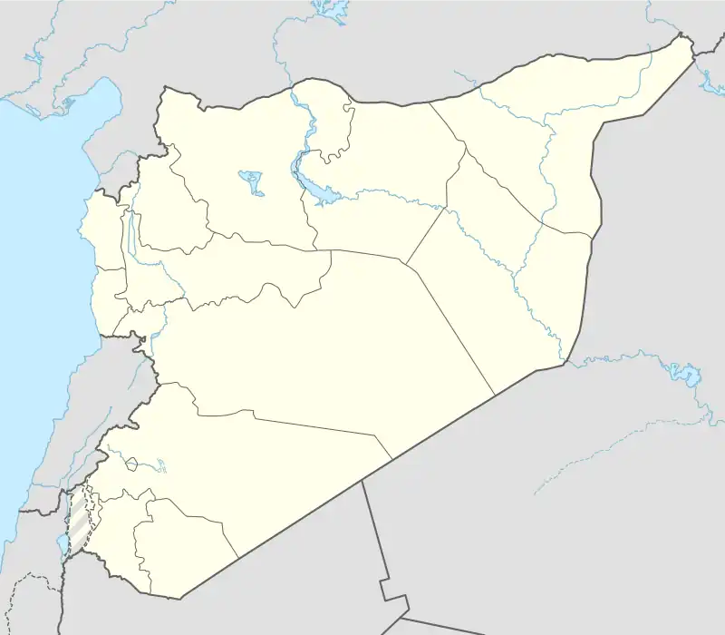 Kafr Laha Location in Syria | |
| Coordinates: 34°52′59″N 36°30′0″E | |
| Country | |
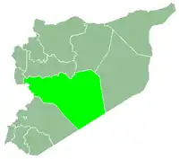
| Governorate | Homs |
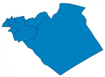
| District | Taldou |
| Subdistrict | Kafr Laha |
| Population (2004) | |
| • Total | 20,041 |
| Time zone | UTC+3 (EET) |
| • Summer (DST) | UTC+2 (EEST) |
History
Kafr Laha has been identified as the ancient Aramaean settlement of Byt'l also known as "Bethel".[4]
Kafr Laha has been the site of demonstrations against the Assad government during the ongoing Syrian uprising which began in 2011.[5]
References
- U.S. National Geospatial-Intelligence Agency Geographic Names Database, 2012
- "2004 General Census". Central Bureau of Statistics. Archived from the original on 2012-07-29. Retrieved 2012-05-27.
- Smith, 1841, p. 179.
- Lipinsky, Edward. The Aramaeans: Their Ancient History, Culture, Religion Peeters Publishers, 2000. p. 203. ISBN 9042908599
- "Arab League meets to discuss Syrian plan". Al Jazeera. 2 Nov 2011.
Bibliography
- Smith, Eli; Robinson, Edward (1841). Biblical Researches in Palestine, Mount Sinai and Arabia Petraea: A Journal of Travels in the Year 1838. Vol. 3. Crocker and Brewster.
|   | |||||||||||||||||||||||||||||
|
| ||||||||||||||||||||||||||||||
| ||||||||||||||||||||||||||||||
| ||||||||||||||||||||||||||||||
| ||||||||||||||||||||||||||||||
This article is issued from Wikipedia. The text is licensed under Creative Commons - Attribution - Sharealike. Additional terms may apply for the media files.