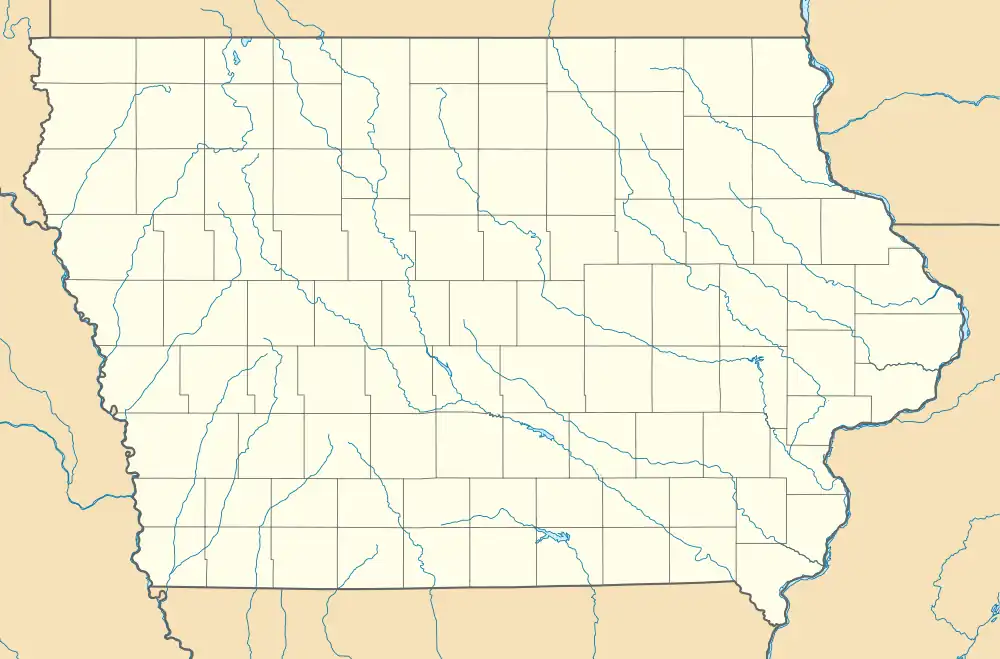
Irvington, Iowa
Irvington is an unincorporated community and census-designated place (CDP) in Irvington Township, Kossuth County, Iowa, United States.[2] As of the 2010 census it had a population of 38.[3]
Irvington, Iowa | |
|---|---|
 Irvington  Irvington | |
| Coordinates: 43°0′25″N 94°11′45″W | |
| Country | |
| State | |
| County | Kossuth |
| Township | Irvington |
| Area | |
| • Total | 1.01 sq mi (2.62 km2) |
| • Land | 1.01 sq mi (2.62 km2) |
| • Water | 0.00 sq mi (0.00 km2) |
| Elevation | 1,152 ft (351 m) |
| Population (2020) | |
| • Total | 36 |
| • Density | 35.57/sq mi (13.74/km2) |
| Time zone | UTC-6 (Central (CST)) |
| • Summer (DST) | UTC-5 (CDT) |
| ZIP code | 50560 |
| Area code | 515 |
| FIPS code | 19-38955 |
| GNIS feature ID | 0457862 |
History
"Old" Irvington was founded in 1856. When the Northwestern Railway was being built through Irvington Township in 1881, the townsite was moved and "New" Irvington was laid out.[4] The community was named for author Washington Irving.[5]
Irvington's population was 33 in 1902,[6] and 95 in 1925.[7]
Geography
Irvington is in southern Kossuth County, in the southwest corner of Irvington Township. It sits on a low bluff on the east side of the East Fork of the Des Moines River. It is 5 miles (8 km) south-southeast of Algona, the county seat.
According to the U.S. Census Bureau, the Irvington CDP has an area of 0.94 square miles (2.43 km2), all land.[3]
References
- "2020 U.S. Gazetteer Files". United States Census Bureau. Retrieved March 16, 2022.
- U.S. Geological Survey Geographic Names Information System: Irvington, Iowa
- "Geographic Identifiers: 2010 Demographic Profile Data (G001): Irvington CDP, Iowa". American Factfinder. U.S. Census Bureau. Retrieved February 27, 2019.
- Reed, Benjamin F. (1913). History of Kossuth County, Iowa, Volume 1. S. J. Clarke Publishing Company. pp. 585–586.
- Chicago and North Western Railway Company (1908). A History of the Origin of the Place Names Connected with the Chicago & North Western and Chicago, St. Paul, Minneapolis & Omaha Railways. p. 87.
- Cram's Modern Atlas: The New Unrivaled New Census Edition. J. R. Gray & Company. 1902. pp. 203–207.
- Company, Rand McNally and (1925). Premier Atlas of the World: Containing Maps of All Countries of the World, with the Most Recent Boundary Decisions, and Maps of All the States,territories, and Possessions of the United States with Population Figures from the Latest Official Census Reports, Also Data of Interest Concerning International and Domestic Political Questions. Rand McNally & Company. p. 190.
- "Census of Population and Housing". Census.gov. Retrieved June 4, 2016.